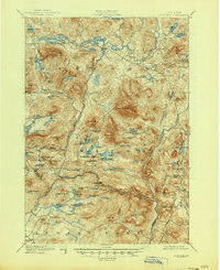
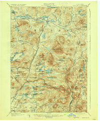
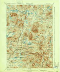
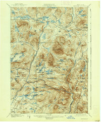
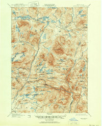
1901 Map of Newcomb
USGS Topo · Published 1944About this map
The Hudson River headwaters wind through this high-country landscape, where 19th-century settlement was concentrated along a few key watercourses and mountain passes. Newcomb sits at the northern edge of this map, positioned between Rich Lake and Harris Lake, serving as a primary hub for this portion of the Adirondack wilderness. To the east, the settlement of Tahawus and the Boreas River valley define the terrain.
Find a feature on this map
94 named features on this map. Tap any name to fly to it.
Don’t see what you’re looking for? This feature index may not catch every label — zoom into the map to look around manually.
Map Details
Editions of this 1901 Newcomb Map
9 editions found
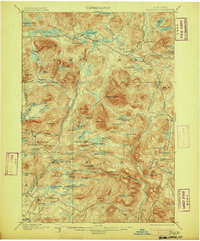
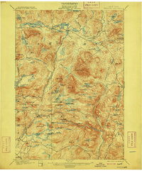
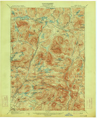
Other maps of this area

1895 · North Creek
USGS Topo · 1:62,500

1895 · Mt. Marcy
USGS Topo · 1:62,500

1897 · North Creek
USGS Topo · 1:62,500

1897 · Schroon Lake
USGS Topo · 1:62,500

1898 · Newcomb
USGS Topo · 1:62,500

1898 · Thirteenth Lake
USGS Topo · 1:62,500

1899 · Indian Lake
USGS Topo · 1:62,500

1901 · Newcomb
USGS Topo · 1:62,500

1902 · Mt. Marcy
USGS Topo · 1:62,500

1902 · Indian Lake
USGS Topo · 1:62,500