
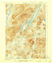
1902 Map of Indian Lake
USGS Topo · Published 1902About this map
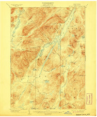
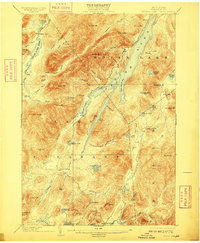
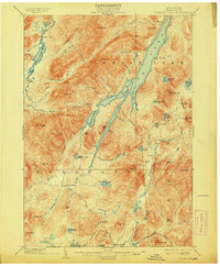
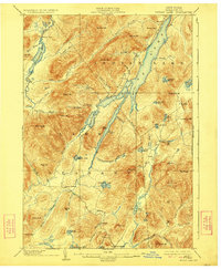
Indian Lake and the high peaks of Hamilton Co. dominate this landscape, documented just before the Adirondack Park’s rapid 20th-century development. The waterway of the Cedar River winds through the northwestern corner past Wakely Dam, while the central portion is defined by the massive Snowy Mt. and the sprawling waters of Lewey Lake. Settlement is sparse, represented by seasonal outposts such as Camp Perkins and Camp Comfort, alongside the permanent village of Speculator at the southern edge. The map captures a wilderness era where the local economy centered on early tourism and natural resources, evidenced by the Hatchery on Whiskey Brook. From the heights of Blue Ridge to the secluded Mason Lake, the drainage patterns of the Miami River and Kunjamuk Creek illustrate the complex watershed of this central Adirondack region.
Find a feature on this map
74 named features on this map. Tap any name to fly to it.
Don’t see what you’re looking for? This feature index may not catch every label — zoom into the map to look around manually.
Map Details
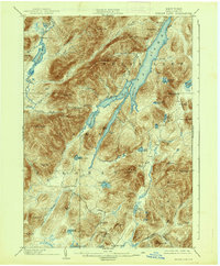
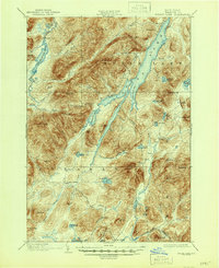
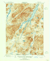
Editions of this 1902 Indian Lake Map
9 editions found
Other maps of this area

1898 · Newcomb
USGS Topo · 1:62,500

1898 · Thirteenth Lake
USGS Topo · 1:62,500

1899 · Indian Lake
USGS Topo · 1:62,500

1900 · Canada Lake
USGS Topo · 1:62,500

1901 · Newcomb
USGS Topo · 1:62,500

1903 · West Canada Lakes
USGS Topo · 1:62,500

1903 · Raquette Lake
USGS Topo · 1:62,500

1903 · Blue Mountain
USGS Topo · 1:62,500

1904 · Piseco Lake
USGS Topo · 1:62,500

1906 · Piseco Lake
USGS Topo · 1:62,500