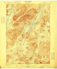
1902 Map of Indian Lake
USGS Topo · Published 1909About this map
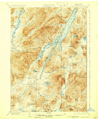
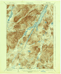
Indian Lake dominates the landscape of this Hamilton County survey, stretching northward between the high peaks of the Adirondacks. The map captures the region at a time when timber and early tourism shaped the local economy, shown through the presence of Wakely Dam and seasonal outposts like Camp Perkins and Camp Comfort. To the south, the settlement of Speculator sits near the headwaters of the Sacandaga River, while the western reaches are defined by the wide expanse of the Cedar River Flow.
Find a feature on this map
77 named features on this map. Tap any name to fly to it.
Don’t see what you’re looking for? This feature index may not catch every label — zoom into the map to look around manually.
Map Details
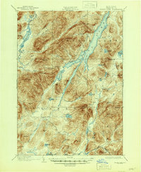
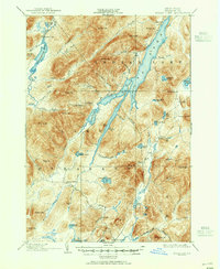
Editions of this 1902 Indian Lake Map
9 editions found
Other maps of this area

1898 · Newcomb
USGS Topo · 1:62,500

1898 · Thirteenth Lake
USGS Topo · 1:62,500

1899 · Indian Lake
USGS Topo · 1:62,500

1900 · Canada Lake
USGS Topo · 1:62,500

1901 · Newcomb
USGS Topo · 1:62,500

1902 · Indian Lake
USGS Topo · 1:62,500

1903 · West Canada Lakes
USGS Topo · 1:62,500

1903 · Raquette Lake
USGS Topo · 1:62,500

1903 · Blue Mountain
USGS Topo · 1:62,500

1904 · Piseco Lake
USGS Topo · 1:62,500