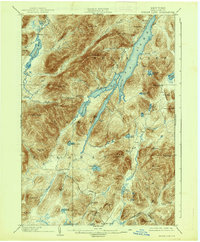
1902 Map of Indian Lake
USGS Topo · Published 1938About this map
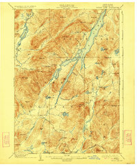
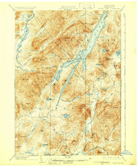
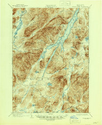
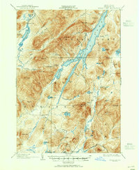
Indian Lake dominates this Adirondack landscape at the turn of the century, appearing as a slender, winding body of water before later dam projects would further alter the shoreline. The settlement of Speculator stands near the southern edge, serving as a gateway to the surrounding wilderness of the Lake Pleasant district. This late-19th-century survey by H.M. Wilson and his team illustrates a region defined by seasonal outposts and remote camps rather than permanent towns, with Camp Perkins and Camp Comfort situated along key waterways. The drainage patterns of the Jessup River and Kunjamuk River reveal the difficult transit through the high peaks of Snowy Mt and Panther Mt. The inclusion of Wakely Dam at the northwestern corner of the sheet points to early water management efforts on the Cedar River to support the logging and milling industries that shaped Hamilton County.
Find a feature on this map
78 named features on this map. Tap any name to fly to it.
Don’t see what you’re looking for? This feature index may not catch every label — zoom into the map to look around manually.
Map Details
Editions of this 1902 Indian Lake Map
9 editions found
Other maps of this area

1898 · Newcomb
USGS Topo · 1:62,500

1898 · Thirteenth Lake
USGS Topo · 1:62,500

1899 · Indian Lake
USGS Topo · 1:62,500

1900 · Canada Lake
USGS Topo · 1:62,500

1901 · Newcomb
USGS Topo · 1:62,500

1902 · Indian Lake
USGS Topo · 1:62,500

1903 · West Canada Lakes
USGS Topo · 1:62,500

1903 · Raquette Lake
USGS Topo · 1:62,500

1903 · Blue Mountain
USGS Topo · 1:62,500

1904 · Piseco Lake
USGS Topo · 1:62,500