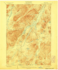
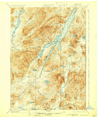
1902 Map of Indian Lake
USGS Topo · Published 1906About this map
Indian Lake dominates the central topography of this Hamilton County landscape, its long, narrow profile carved between high peaks like Snowy Mt. and Porter Mt.. This 1906 reprint of the original 1902 survey illustrates the Adirondack wilderness at a time when accessibility was defined by remote logging camps and early seasonal outposts. Along the southern edge, the settlement of Speculator provides a rare point of permanent habitation, while the interior is dotted with primitive sites like Camp Perkins and Camp Comfort.
Find a feature on this map
84 named features on this map. Tap any name to fly to it.
Don’t see what you’re looking for? This feature index may not catch every label — zoom into the map to look around manually.
Map Details
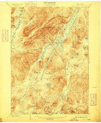
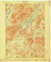
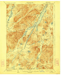
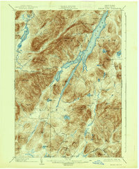
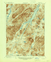
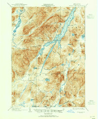
Editions of this 1902 Indian Lake Map
9 editions found
Other maps of this area

1898 · Newcomb
USGS Topo · 1:62,500

1898 · Thirteenth Lake
USGS Topo · 1:62,500

1899 · Indian Lake
USGS Topo · 1:62,500

1900 · Canada Lake
USGS Topo · 1:62,500

1901 · Newcomb
USGS Topo · 1:62,500

1902 · Indian Lake
USGS Topo · 1:62,500

1903 · West Canada Lakes
USGS Topo · 1:62,500

1903 · Raquette Lake
USGS Topo · 1:62,500

1903 · Blue Mountain
USGS Topo · 1:62,500

1904 · Piseco Lake
USGS Topo · 1:62,500