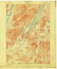
1902 Map of Indian Lake
USGS Topo · Published 1913About this map
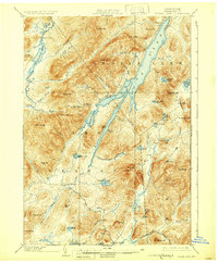
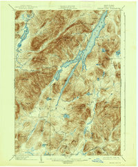
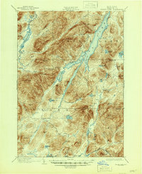
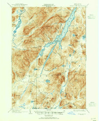
Indian Lake and the surrounding Adirondack wilderness define this 1890s survey, capturing a landscape of remote camps and timber-driven hydrology. The northern reach of the sheet is dominated by the long, narrow waters of Indian Lake, while the western edge shows the Cedar River Flow and the early infrastructure at Wakely Dam. Human presence is concentrated in seasonal camps and small outposts like Speculator and Camp Perkins, connected by a network of trails and brooks rather than developed roads.
Find a feature on this map
73 named features on this map. Tap any name to fly to it.
Don’t see what you’re looking for? This feature index may not catch every label — zoom into the map to look around manually.
Map Details
Editions of this 1902 Indian Lake Map
9 editions found
Other maps of this area

1898 · Newcomb
USGS Topo · 1:62,500

1898 · Thirteenth Lake
USGS Topo · 1:62,500

1899 · Indian Lake
USGS Topo · 1:62,500

1900 · Canada Lake
USGS Topo · 1:62,500

1901 · Newcomb
USGS Topo · 1:62,500

1902 · Indian Lake
USGS Topo · 1:62,500

1903 · West Canada Lakes
USGS Topo · 1:62,500

1903 · Raquette Lake
USGS Topo · 1:62,500

1903 · Blue Mountain
USGS Topo · 1:62,500

1904 · Piseco Lake
USGS Topo · 1:62,500