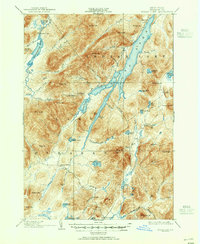
1902 Map of Indian Lake
USGS Topo · Published 1951About this map
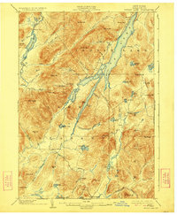
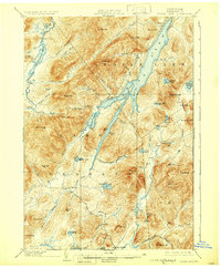
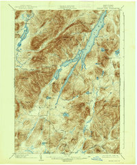
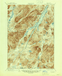
Indian Lake and the surrounding Adirondack wilderness dominate this landscape as it appeared at the close of the nineteenth century. The mapping reflects a rugged territory defined by its watercourses and prominent peaks, including the 3,903-foot Snowy Mt. and Panther Mt.. At the northern reaches of the lake, the settlement of Sabael serves as a lone community hub, while further south, the village of Speculator marks a significant waypoint. The presence of Wakely Dam on the Cedar River Flow highlights early hydraulic engineering in the region, supporting the local logging and river economy. Scattered outposts like Camp Perkins and Camp Comfort indicate the area's development as a destination for sportsmen and early Adirondack travelers. Natural drainage patterns are meticulously recorded, from the winding Miami River and Jessup River to the smaller Dug Mountain Brook, providing a detailed look at the hydrology before modern development altered these remote drainages.
Find a feature on this map
77 named features on this map. Tap any name to fly to it.
Don’t see what you’re looking for? This feature index may not catch every label — zoom into the map to look around manually.
Map Details
Editions of this 1902 Indian Lake Map
9 editions found
Other maps of this area

1898 · Newcomb
USGS Topo · 1:62,500

1898 · Thirteenth Lake
USGS Topo · 1:62,500

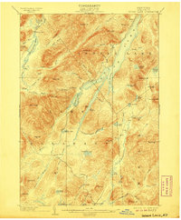
1899 · Indian Lake
USGS Topo · 1:62,500

1900 · Canada Lake
USGS Topo · 1:62,500

1901 · Newcomb
USGS Topo · 1:62,500

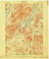
1902 · Indian Lake
USGS Topo · 1:62,500

1903 · West Canada Lakes
USGS Topo · 1:62,500

1903 · Raquette Lake
USGS Topo · 1:62,500

1903 · Blue Mountain
USGS Topo · 1:62,500

1904 · Piseco Lake
USGS Topo · 1:62,500