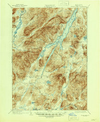
1902 Map of Indian Lake
USGS Topo · Published 1946About this map
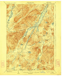
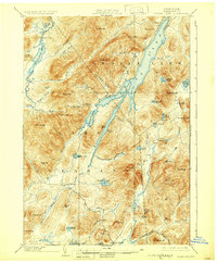
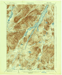
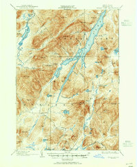
Speculator sits at the southern edge of this Adirondack wilderness, captured during a period of late-19th-century surveying when the region's mountain peaks and vast water systems were being meticulously documented. The landscape is dominated by the long stretch of Indian Lake and its prominent John Mack Bay, surrounded by high elevations like Snowy Mt and Kunjamuk Mt. The map records an early infrastructure of remote outposts and campsites, including Camp Comfort and Camp Perkins, which served the seasonal visitors and forestry workers of the era. To the northwest, the Cedar River Flow and Wakely Dam illustrate the early management of the region's watersheds, reflecting the importance of water control for logging and local industry before the modern development of the park.
Find a feature on this map
68 named features on this map. Tap any name to fly to it.
Don’t see what you’re looking for? This feature index may not catch every label — zoom into the map to look around manually.
Map Details
Editions of this 1902 Indian Lake Map
9 editions found
Other maps of this area

1898 · Newcomb
USGS Topo · 1:62,500

1898 · Thirteenth Lake
USGS Topo · 1:62,500

1899 · Indian Lake
USGS Topo · 1:62,500

1900 · Canada Lake
USGS Topo · 1:62,500

1901 · Newcomb
USGS Topo · 1:62,500

1902 · Indian Lake
USGS Topo · 1:62,500

1903 · West Canada Lakes
USGS Topo · 1:62,500

1903 · Raquette Lake
USGS Topo · 1:62,500

1903 · Blue Mountain
USGS Topo · 1:62,500

1904 · Piseco Lake
USGS Topo · 1:62,500