
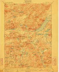
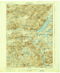
1906 Map of Piseco Lake
USGS Topo · Published 1906About this map
Piseco Lake dominates the eastern half of this 1906 topographic survey, illustrating a landscape defined by water and timber before modern Adirondack development. The map details small settlements like Piseco and Rudeston along the lakeshore, while the western reaches follow the South Branch West Canada Creek through dense mountain terrain. A notable point of historical interest is the Mountain House located near Hoffmeister, a remnant of the era's early wilderness tourism.
Find a feature on this map
128 named features on this map. Tap any name to fly to it.
Don’t see what you’re looking for? This feature index may not catch every label — zoom into the map to look around manually.
Map Details
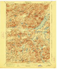
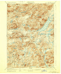
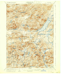
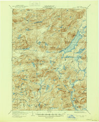
Editions of this 1906 Piseco Lake Map
7 editions found
Other maps of this area

1899 · Indian Lake
USGS Topo · 1:62,500

1900 · Little Falls
USGS Topo · 1:62,500

1900 · Canada Lake
USGS Topo · 1:62,500

1900 · Wilmurt
USGS Topo · 1:62,500

1901 · Old Forge
USGS Topo · 1:62,500

1901 · Lassellsville
USGS Topo · 1:62,500

1902 · Wilmurt
USGS Topo · 1:62,500

1902 · Indian Lake
USGS Topo · 1:62,500

1903 · West Canada Lakes
USGS Topo · 1:62,500

1903 · Gloversville
USGS Topo · 1:62,500