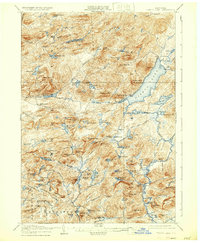
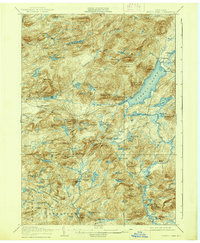
1906 Map of Piseco Lake
USGS Topo · Published 1933About this map
Piseco Lake and the surrounding Adirondack wilderness are documented here during the early twentieth century, showing a landscape defined by isolated settlements and extensive water systems. Small outposts such as Rudeston and Hoffmeister sit near the shorelines, while interior landmarks like Mountain House and Clockmill Corners suggest the early development of seasonal residency and local industry. The map reveals a complex network of elevations, from Piseco Mtn to the prominent Echo Cliff, which overlooks Irondequoit Bay.
Find a feature on this map
107 named features on this map. Tap any name to fly to it.
Don’t see what you’re looking for? This feature index may not catch every label — zoom into the map to look around manually.
Map Details
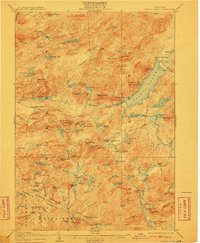
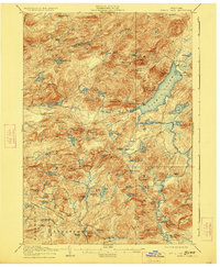
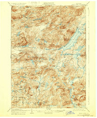
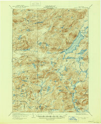
Editions of this 1906 Piseco Lake Map
7 editions found

Other maps of this area

1899 · Indian Lake
USGS Topo · 1:62,500

1900 · Little Falls
USGS Topo · 1:62,500

1900 · Canada Lake
USGS Topo · 1:62,500

1900 · Wilmurt
USGS Topo · 1:62,500

1901 · Old Forge
USGS Topo · 1:62,500

1901 · Lassellsville
USGS Topo · 1:62,500

1902 · Wilmurt
USGS Topo · 1:62,500

1902 · Indian Lake
USGS Topo · 1:62,500

1903 · West Canada Lakes
USGS Topo · 1:62,500

1903 · Gloversville
USGS Topo · 1:62,500