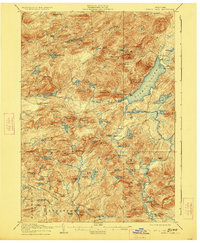
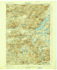
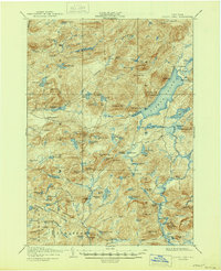
1906 Map of Piseco Lake
USGS Topo · Published 1923About this map
Piseco Lake and the Sacandaga River headwaters dominate this early 20th-century Adirondack landscape. The settlement at Piseco and the nearby Rudeston landing represent the primary points of habitation in an otherwise dense network of mountain peaks and interior waterways. Notable for its family-named outposts, the survey identifies several remote camps and clearings including Avery's Place, Powley Place, and Shaker Place, which were vital hubs for woodsmen and early recreational travelers.
Find a feature on this map
111 named features on this map. Tap any name to fly to it.
Don’t see what you’re looking for? This feature index may not catch every label — zoom into the map to look around manually.
Map Details
Editions of this 1906 Piseco Lake Map
7 editions found

Other maps of this area

1899 · Indian Lake
USGS Topo · 1:62,500

1900 · Little Falls
USGS Topo · 1:62,500

1900 · Canada Lake
USGS Topo · 1:62,500

1900 · Wilmurt
USGS Topo · 1:62,500

1901 · Old Forge
USGS Topo · 1:62,500

1901 · Lassellsville
USGS Topo · 1:62,500

1902 · Wilmurt
USGS Topo · 1:62,500

1902 · Indian Lake
USGS Topo · 1:62,500

1903 · West Canada Lakes
USGS Topo · 1:62,500

1903 · Gloversville
USGS Topo · 1:62,500