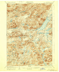
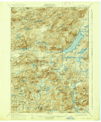
1906 Map of Piseco Lake
USGS Topo · Published 1929About this map
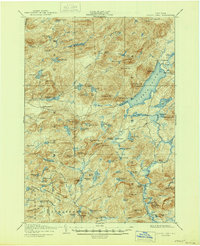
Piseco Lake and its surrounding Adirondack wilderness define this early twentieth-century topographic study, showing the area as it existed shortly after the creation of the Forest Preserve. Small settlements such as Piseco and Rudeston cling to the shoreline, while the interior is marked by isolated camps and clearings like Powley Place, Avery Place, and Shaker Place. This pattern of habitation reflects the era's transition from early pioneer subsistence to a growing seasonal economy of hunting and fishing camps. The landscape is dominated by complex water systems, including the West Branch Canada Creek and the dramatic T Lake Falls. Geologists of the period meticulously recorded landmarks such as Echo Cliff on Panther Mtn and the curious Goldmine Hill, offering researchers a precise look at the naming conventions and small-scale human footprints in the forest before modern road expansions altered the region's character.
Find a feature on this map
114 named features on this map. Tap any name to fly to it.
Don’t see what you’re looking for? This feature index may not catch every label — zoom into the map to look around manually.
Map Details
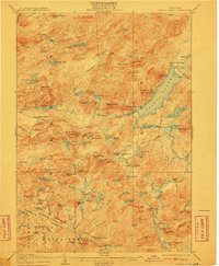
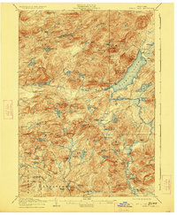
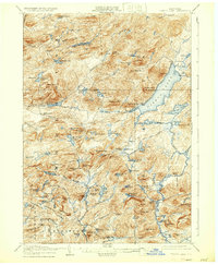
Editions of this 1906 Piseco Lake Map
7 editions found

Other maps of this area

1899 · Indian Lake
USGS Topo · 1:62,500

1900 · Little Falls
USGS Topo · 1:62,500

1900 · Canada Lake
USGS Topo · 1:62,500

1900 · Wilmurt
USGS Topo · 1:62,500

1901 · Old Forge
USGS Topo · 1:62,500

1901 · Lassellsville
USGS Topo · 1:62,500

1902 · Wilmurt
USGS Topo · 1:62,500

1902 · Indian Lake
USGS Topo · 1:62,500

1903 · West Canada Lakes
USGS Topo · 1:62,500

1903 · Gloversville
USGS Topo · 1:62,500