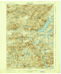
1906 Map of Piseco Lake
USGS Topo · Published 1939About this map
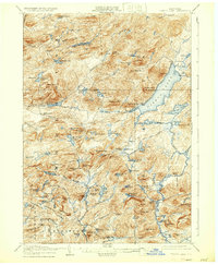
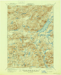
Piseco Lake and the high peaks of the Adirondacks define this landscape during the first years of the twentieth century. The map documents a sparsely populated wilderness where small outposts like Piseco and Rudeston cling to the shoreline, while deeper woods are marked by family-named landmarks such as Powley Place and Averys Place. Steep elevations like Panther Mtn and Echo Cliff tower over a complex network of waterways, including the headwaters of the Sacandaga River and the meandering West Canada Creek.
Find a feature on this map
115 named features on this map. Tap any name to fly to it.
Don’t see what you’re looking for? This feature index may not catch every label — zoom into the map to look around manually.
Map Details
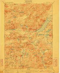
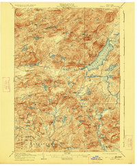
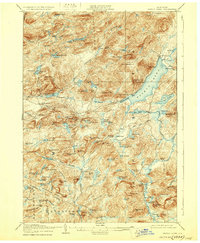
Editions of this 1906 Piseco Lake Map
7 editions found

Other maps of this area

1899 · Indian Lake
USGS Topo · 1:62,500

1900 · Little Falls
USGS Topo · 1:62,500

1900 · Canada Lake
USGS Topo · 1:62,500

1900 · Wilmurt
USGS Topo · 1:62,500

1901 · Old Forge
USGS Topo · 1:62,500

1901 · Lassellsville
USGS Topo · 1:62,500

1902 · Wilmurt
USGS Topo · 1:62,500

1902 · Indian Lake
USGS Topo · 1:62,500

1903 · West Canada Lakes
USGS Topo · 1:62,500

1903 · Gloversville
USGS Topo · 1:62,500