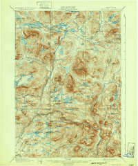
1901 Map of Newcomb
USGS Topo · Published 1932About this map
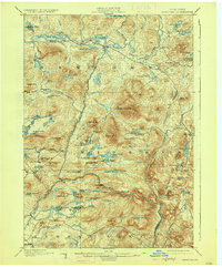
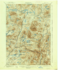
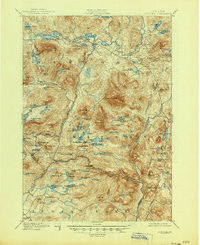
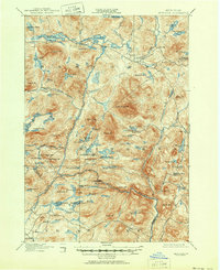
Newcomb sits at the heart of this survey of the high Adirondack wilderness, where the headwaters of the Hudson River flow through a complex network of glacial ponds and narrow valleys. Surveyed in 1896, the map documents a landscape defined by its isolated mountain outposts and early recreational retreats like the Northwoods Club. The settlement pattern follows the waterways, with Tahawus and Aiden Lair serving as critical nodes in a region dominated by peaks like Vanderwhacker Mt. and Goodnow Mt..
Find a feature on this map
93 named features on this map. Tap any name to fly to it.
Don’t see what you’re looking for? This feature index may not catch every label — zoom into the map to look around manually.
Map Details
Editions of this 1901 Newcomb Map
9 editions found
Other maps of this area

1895 · North Creek
USGS Topo · 1:62,500

1895 · Mt. Marcy
USGS Topo · 1:62,500

1897 · North Creek
USGS Topo · 1:62,500

1897 · Schroon Lake
USGS Topo · 1:62,500

1898 · Newcomb
USGS Topo · 1:62,500

1898 · Thirteenth Lake
USGS Topo · 1:62,500

1899 · Indian Lake
USGS Topo · 1:62,500

1901 · Newcomb
USGS Topo · 1:62,500

1902 · Mt. Marcy
USGS Topo · 1:62,500

1902 · Indian Lake
USGS Topo · 1:62,500