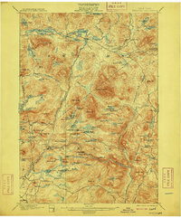
1901 Map of Newcomb
USGS Topo · Published 1909About this map
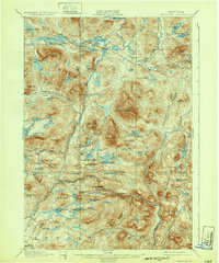
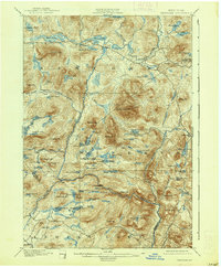
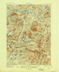
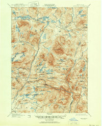
The upper Hudson River watershed defines this Adirondack landscape at the turn of the century, showing a region structured by water and wilderness. The small settlement of Newcomb sits at the northern edge, serving as a gateway to a dense network of lakes and ponds like Rich Lake and Harris Lake. Further south, the map reveals the social geography of the era through sites like the Northwoods Club and the Clubhouse near Bissell Pond, reflecting the Adirondacks' role as a premier destination for early sporting and outdoor recreation societies.
Find a feature on this map
98 named features on this map. Tap any name to fly to it.
Don’t see what you’re looking for? This feature index may not catch every label — zoom into the map to look around manually.
Map Details
Editions of this 1901 Newcomb Map
9 editions found
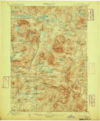
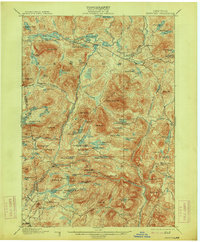
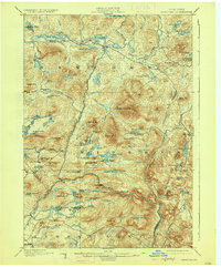
Other maps of this area

1895 · North Creek
USGS Topo · 1:62,500

1895 · Mt. Marcy
USGS Topo · 1:62,500

1897 · North Creek
USGS Topo · 1:62,500

1897 · Schroon Lake
USGS Topo · 1:62,500

1898 · Newcomb
USGS Topo · 1:62,500

1898 · Thirteenth Lake
USGS Topo · 1:62,500

1899 · Indian Lake
USGS Topo · 1:62,500

1901 · Newcomb
USGS Topo · 1:62,500

1902 · Mt. Marcy
USGS Topo · 1:62,500

1902 · Indian Lake
USGS Topo · 1:62,500