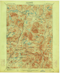
1901 Map of Newcomb
USGS Topo · Published 1914About this map
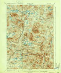
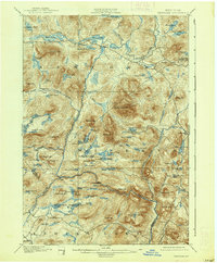
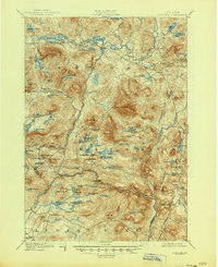
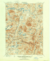
Newcomb sits at the northern edge of this high-country survey, centered on the upper reaches of the Hudson River long before modern development altered the landscape. This area is characterized by a dense network of glacial ponds and mountain peaks, including Vanderwhacker Mt. and Goodenow Mt.. The presence of the Northwoods Club and a Clubhouse near Bissell Pond suggests the region's early identity as a destination for seasonal sportsmen and wilderness retreats. Toward the east, the settlement of Tahawus and the inn at Aiden Lair mark the few established outposts in a territory defined by timber and water. The map traces early transportation routes like the road to Old Falls, offering a detailed look at the connectivity between isolated mountain hamlets and the logging camps that dotted the Essex County interior at the turn of the century.
Find a feature on this map
90 named features on this map. Tap any name to fly to it.
Don’t see what you’re looking for? This feature index may not catch every label — zoom into the map to look around manually.
Map Details
Editions of this 1901 Newcomb Map
9 editions found
Other maps of this area

1895 · North Creek
USGS Topo · 1:62,500

1895 · Mt. Marcy
USGS Topo · 1:62,500

1897 · North Creek
USGS Topo · 1:62,500

1897 · Schroon Lake
USGS Topo · 1:62,500

1898 · Newcomb
USGS Topo · 1:62,500

1898 · Thirteenth Lake
USGS Topo · 1:62,500

1899 · Indian Lake
USGS Topo · 1:62,500

1901 · Newcomb
USGS Topo · 1:62,500

1902 · Mt. Marcy
USGS Topo · 1:62,500

1902 · Indian Lake
USGS Topo · 1:62,500