
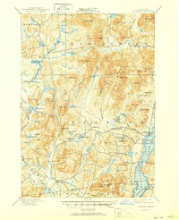
1897 Map of Schroon Lake
USGS Topo · Published 1897About this map
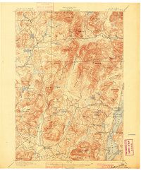
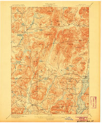
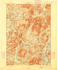
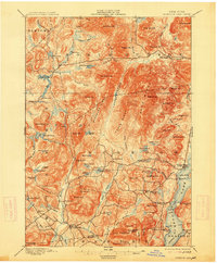
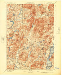
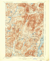
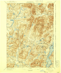
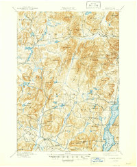
Olmstedville and Minerva anchor the southwestern corner of this survey, a landscape defined by the prominent Washburn Ridge and Texas Ridge. The eastern edge is dominated by Schroon Lake, where a Steamboat Route connects the shoreline settlements and points of interest like Isola Bella and Grove Pt.. This era of the Adirondack wilderness shows the integration of early industry and recreation, with Lester Dam and Brace Dam controlling the flow of the Boreas River and its tributaries while camps begin to dot the shores of smaller water bodies like Hewitt Pond. Narrow roads wind through the valleys to reach remote hamlets such as Loch Muller and Irishtown, tracing the routes between family-named peaks like Hoffman Mt. and Hayes Mt.. The map documents the intricate drainage network of Trout Brook and Minerva Brook before modern development altered the mountain passes and valley floors.
Find a feature on this map
103 named features on this map. Tap any name to fly to it.
Don’t see what you’re looking for? This feature index may not catch every label — zoom into the map to look around manually.
Map Details
Editions of this 1897 Schroon Lake Map
10 editions found
Other maps of this area

1894 · Elizabethtown
USGS Topo · 1:62,500

1895 · Elizabethtown
USGS Topo · 1:62,500

1895 · North Creek
USGS Topo · 1:62,500

1895 · Mt. Marcy
USGS Topo · 1:62,500

1895 · Paradox Lake
USGS Topo · 1:62,500

1897 · Bolton
USGS Topo · 1:62,500

1897 · Paradox Lake
USGS Topo · 1:62,500

1897 · North Creek
USGS Topo · 1:62,500

1898 · Newcomb
USGS Topo · 1:62,500

1898 · Thirteenth Lake
USGS Topo · 1:62,500