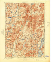
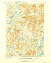
1897 Map of Schroon Lake
USGS Topo · Published 1925About this map
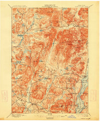
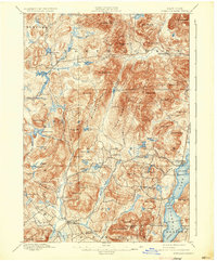
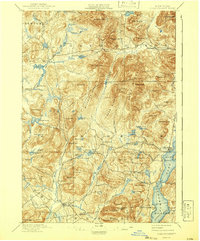
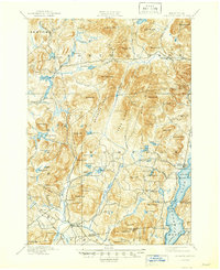
Irishtown and Olmstedville anchor the southern portion of this Adirondack mountain study, surveyed in the late 19th century before the rise of modern highways. The landscape is defined by the massive Hoffman Mt. and the Hoffman Notch, which creates a natural corridor through the Texas Ridge and Washburn Ridge. The mapping reveals a detailed water system of glacial ponds and narrow rivers, including Hewitt Pond, Stony Pond, and the winding Boreas River. Along the eastern edge, the waters of Schroon Lake are navigated by a designated Steamboat Route, connecting landings like Taylors on Schroon and South Schroon. These early settlements and landings highlight the reliance on waterborne transport and mountain passes for local commerce and travel during this era, while family-named landmarks like Bigsby Hill and Snyder Hill suggest the deep roots of 19th-century homesteaders in the rugged Essex County interior.
Find a feature on this map
71 named features on this map. Tap any name to fly to it.
Don’t see what you’re looking for? This feature index may not catch every label — zoom into the map to look around manually.
Map Details
Editions of this 1897 Schroon Lake Map
10 editions found
Other maps of this area

1894 · Elizabethtown
USGS Topo · 1:62,500

1895 · Elizabethtown
USGS Topo · 1:62,500

1895 · North Creek
USGS Topo · 1:62,500

1895 · Mt. Marcy
USGS Topo · 1:62,500

1895 · Paradox Lake
USGS Topo · 1:62,500

1897 · Bolton
USGS Topo · 1:62,500

1897 · Paradox Lake
USGS Topo · 1:62,500

1897 · North Creek
USGS Topo · 1:62,500

1897 · Schroon Lake
USGS Topo · 1:62,500

1898 · Newcomb
USGS Topo · 1:62,500