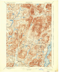
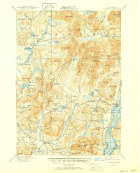
1897 Map of Schroon Lake
USGS Topo · Published 1933About this map
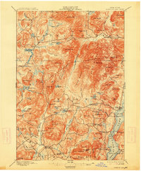
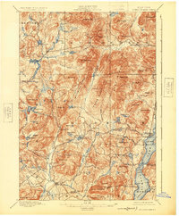
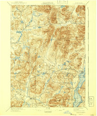
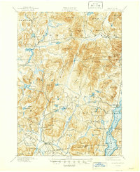
The high Adirondack wilderness of Essex County is defined here by the long, narrow reach of Schroon Lake and the steep ridges that hem in the Schroon River. While the eastern shore of the lake shows the early development of Taylors on Schroon and Adirondack, the western interior remains a landscape of logging and small mountain hamlets. Log driving infrastructure is evident in the northern reaches where Brace Dam and Lester Dam sit on the Boreas River, essential for managing the flow of timber through these narrow valleys.
Find a feature on this map
97 named features on this map. Tap any name to fly to it.
Don’t see what you’re looking for? This feature index may not catch every label — zoom into the map to look around manually.
Map Details
Editions of this 1897 Schroon Lake Map
10 editions found
Other maps of this area

1894 · Elizabethtown
USGS Topo · 1:62,500

1895 · Elizabethtown
USGS Topo · 1:62,500

1895 · North Creek
USGS Topo · 1:62,500

1895 · Mt. Marcy
USGS Topo · 1:62,500

1895 · Paradox Lake
USGS Topo · 1:62,500

1897 · Bolton
USGS Topo · 1:62,500

1897 · Paradox Lake
USGS Topo · 1:62,500

1897 · North Creek
USGS Topo · 1:62,500

1897 · Schroon Lake
USGS Topo · 1:62,500

1898 · Newcomb
USGS Topo · 1:62,500