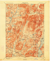
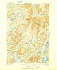
1897 Map of Schroon Lake
USGS Topo · Published 1914About this map
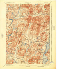
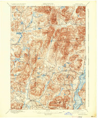
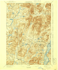
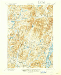
Schroon Lake and the surrounding wilderness of Essex and Warren Counties are captured here following a 1895 survey. The landscape is defined by its water-driven industry and early settlement patterns, where Brace Dam and Lester Dam sit along the Boreas River and Cheney Pond, highlighting the era's reliance on timber and waterway management. The southern shores of the lake show established communities like Adirondack and Taylors on Schroon, while the interior remains a maze of high peaks and named ridges.
Find a feature on this map
102 named features on this map. Tap any name to fly to it.
Don’t see what you’re looking for? This feature index may not catch every label — zoom into the map to look around manually.
Map Details
Editions of this 1897 Schroon Lake Map
10 editions found
Other maps of this area

1894 · Elizabethtown
USGS Topo · 1:62,500

1895 · Elizabethtown
USGS Topo · 1:62,500

1895 · North Creek
USGS Topo · 1:62,500

1895 · Mt. Marcy
USGS Topo · 1:62,500

1895 · Paradox Lake
USGS Topo · 1:62,500

1897 · Bolton
USGS Topo · 1:62,500

1897 · Paradox Lake
USGS Topo · 1:62,500

1897 · North Creek
USGS Topo · 1:62,500

1897 · Schroon Lake
USGS Topo · 1:62,500

1898 · Newcomb
USGS Topo · 1:62,500