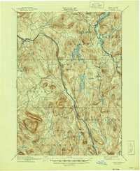
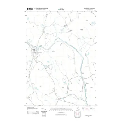
1895 Map of North Creek
USGS Topo · Published 1895About this map
The Adirondack Delaware and Hudson RR follows the steep curves of the Hudson River through this 1895 survey, anchoring a landscape of tight-knit river settlements and high peaks. This era reveals the region's character as a crossroads of rail and water, with established villages like Pottersville, Chestertown, and Johnsburg serving as hubs for the surrounding timberlands and valleys. The map documents a time before modern highway expansion, where a ferry still crossed the river and many smaller hamlets like Sodom, Holcombville, and Igerna were active points of interest.
Find a feature on this map
79 named features on this map. Tap any name to fly to it.
Don’t see what you’re looking for? This feature index may not catch every label — zoom into the map to look around manually.
Map Details
Editions of this 1895 North Creek Map
This is the sole edition of this map. No revisions or reprints were ever made.
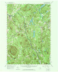
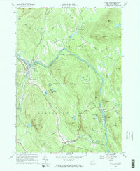
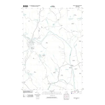
Historical Maps of Warrensburg Through Time
9 maps found