
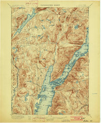
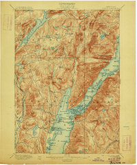
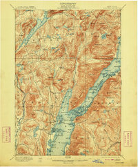
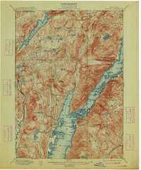
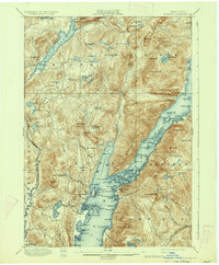
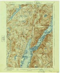
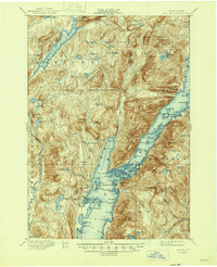
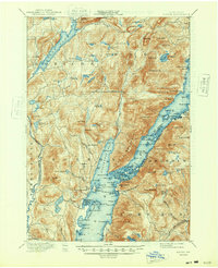
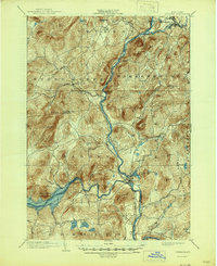
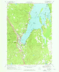
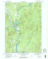
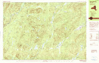
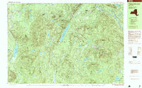
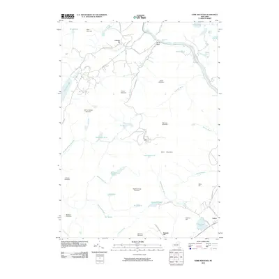
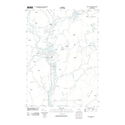
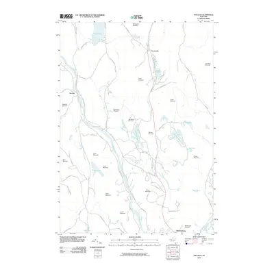
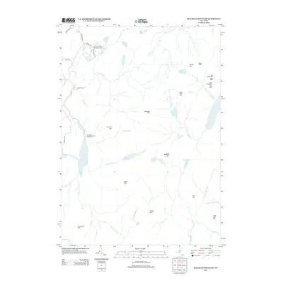
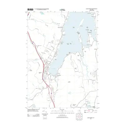
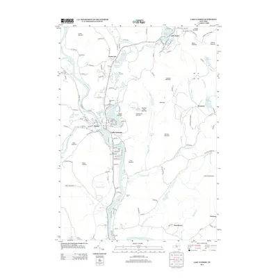
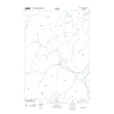
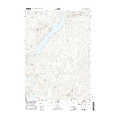
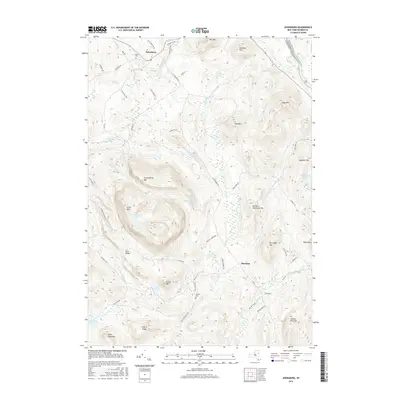
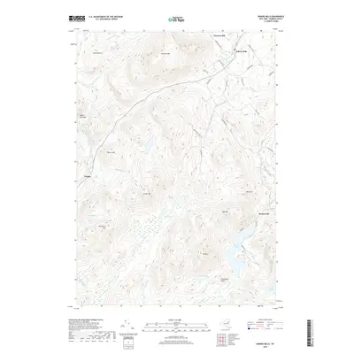
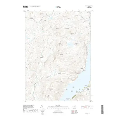
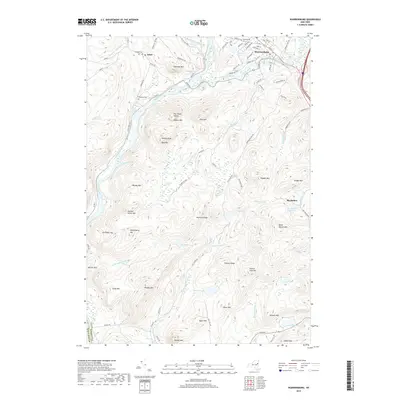
1900 Map of Bolton
USGS Topo · Published 1900About this map
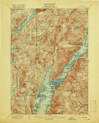
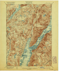
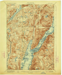
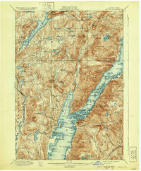
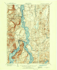
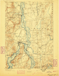
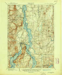
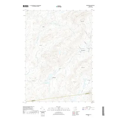
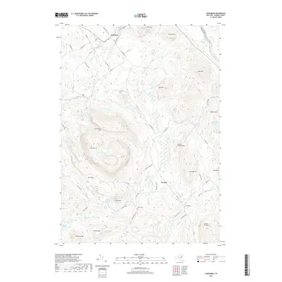
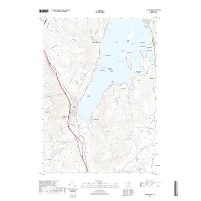
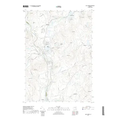
Northwest Bay and the narrow, island-dotted waters of Lake George dominate this 1900 survey of the Adirondack foothills. The landscape is characterized by a dense network of high summits and isolated water bodies, where Tongue Mountain and Black Mt. loom over the primary steamboat thoroughfares. The local economy and transportation at the turn of the century are anchored by landings such as Bolton Landing, Sabbathday Point, and Huletts Landing, which served as vital connections for goods and passengers before the dominance of modern roadways.
Find a feature on this map
148 named features on this map. Tap any name to fly to it.
Don’t see what you’re looking for? This feature index may not catch every label — zoom into the map to look around manually.
Map Details
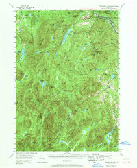
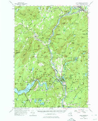
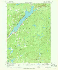
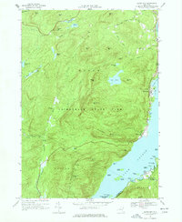
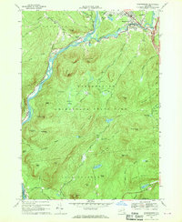
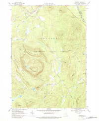
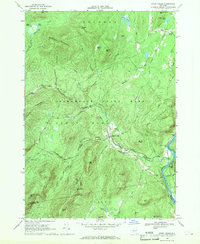
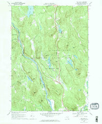
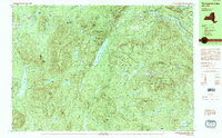
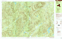
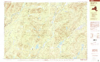
Editions of this 1900 Bolton Map
13 editions found
1900 edition
16.6 x 20.1 inches
1902 edition
16.6 x 20.1 inches
1906 edition
16.6 x 20.1 inches
1909 edition
16.6 x 20 inches
1913 edition
16.6 x 20.1 inches
1919 edition
16.3 x 20.4 inches
1920 edition
16.6 x 20.1 inches
1923 edition
16.6 x 20.1 inches
1930 edition
16.6 x 20.1 inches
1934 edition
16.6 x 20.2 inches
1940 edition
16.6 x 20.2 inches
1946 edition
17 x 20.9 inches
1948 edition
17 x 20.9 inches
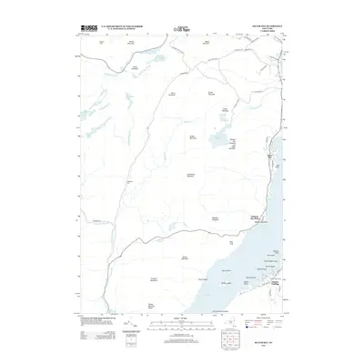
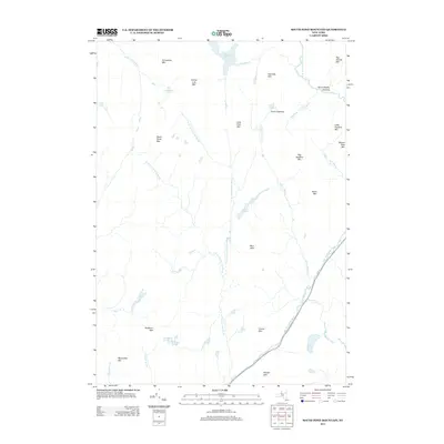
Historical Maps of Fort Ann Through Time
88 maps found
1894 Ticonderoga
Warren County, NY
1896 Ticonderoga
Warren County, NY

1897 Bolton
Warren County, NY
1898 Thirteenth Lake
Warren County, NY
1900 Bolton
Warren County, NY
1902 Ticonderoga
Warren County, NY
1903 Luzerne
Warren County, NY
1954 Thirteenth Lake
Warren County, NY
1955 Lake Luzerne
Warren County, NY
1966 Brant Lake
Warren County, NY
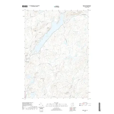
1966 Lake George
Warren County, NY
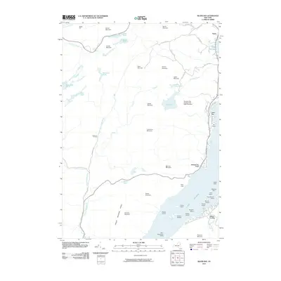
1966 Silver Bay
Warren County, NY
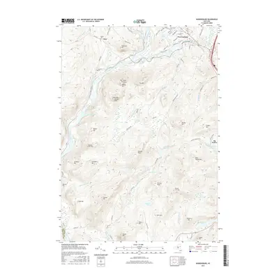
1966 Warrensburg
Warren County, NY
1968 Johnsburg
Warren County, NY
1968 Lake Luzerne
Warren County, NY
1968 Stony Creek
Warren County, NY
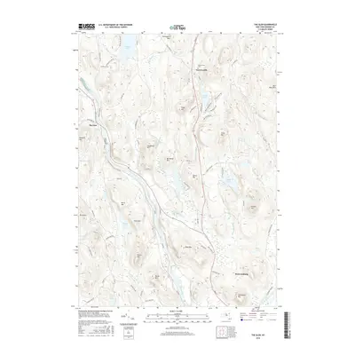
1968 The Glen
Warren County, NY
1990 Bakers Mills
Warren County, NY
1990 Harrisburg
Warren County, NY
1990 Thirteenth Lake
Warren County, NY
1997 Bakers Mills
Warren County, NY
1997 Harrisburg
Warren County, NY
1997 Thirteenth Lake
Warren County, NY
2010 Bakers Mills
Warren County, NY
2010 Brant Lake
Warren County, NY
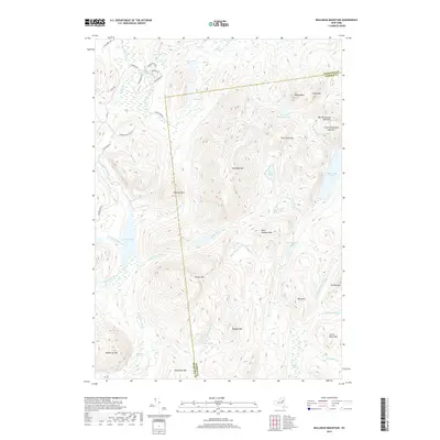
2010 Bullhead Mountain
Warren County, NY
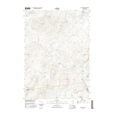
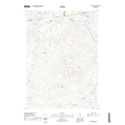
2010 Gore Mountain
Warren County, NY
2010 Harrisburg
Warren County, NY
2010 Johnsburg
Warren County, NY
2010 Lake George
Warren County, NY
2010 Lake Luzerne
Warren County, NY
2010 Silver Bay
Warren County, NY
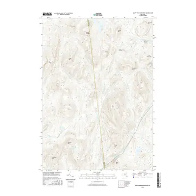
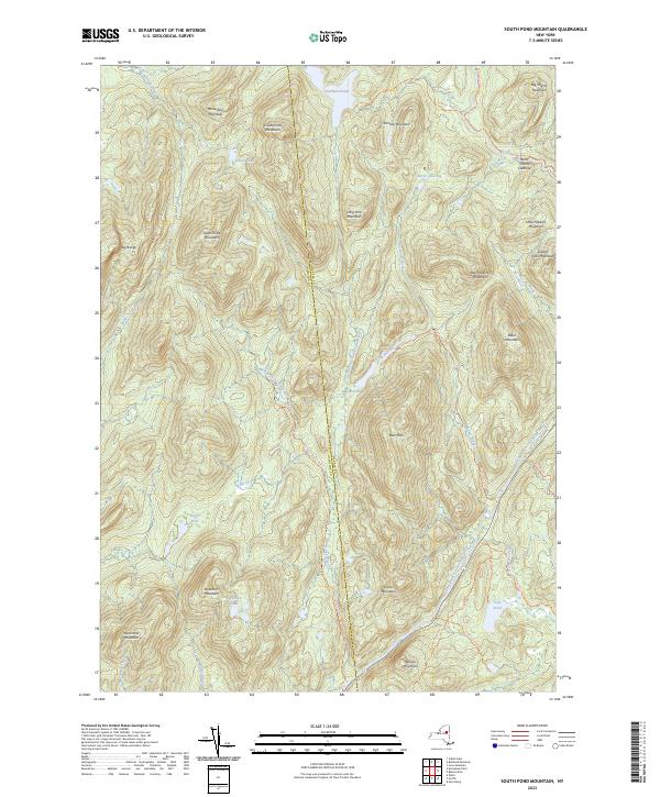
2010 South Pond Mountain
Warren County, NY
2010 Stony Creek
Warren County, NY
2010 The Glen
Warren County, NY
2010 Warrensburg
Warren County, NY
2013 Bakers Mills
Warren County, NY
2013 Brant Lake
Warren County, NY
2013 Bullhead Mountain
Warren County, NY
2013 Gore Mountain
Warren County, NY
2013 Harrisburg
Warren County, NY
2013 Johnsburg
Warren County, NY
2013 Lake George
Warren County, NY
2013 Lake Luzerne
Warren County, NY
2013 Silver Bay
Warren County, NY
2013 South Pond Mountain
Warren County, NY
2013 Stony Creek
Warren County, NY
2013 The Glen
Warren County, NY
2013 Warrensburg
Warren County, NY
2016 Bakers Mills
Warren County, NY
2016 Brant Lake
Warren County, NY
2016 Bullhead Mountain
Warren County, NY
2016 Gore Mountain
Warren County, NY
2016 Harrisburg
Warren County, NY
2016 Johnsburg
Warren County, NY
2016 Lake George
Warren County, NY
2016 Lake Luzerne
Warren County, NY
2016 Silver Bay
Warren County, NY
2016 South Pond Mountain
Warren County, NY
2016 Stony Creek
Warren County, NY
2016 The Glen
Warren County, NY
2016 Warrensburg
Warren County, NY
2019 Bakers Mills
Warren County, NY
2019 Brant Lake
Warren County, NY
2019 Bullhead Mountain
Warren County, NY
2019 Gore Mountain
Warren County, NY
2019 Harrisburg
Warren County, NY
2019 Johnsburg
Warren County, NY
2019 Lake George
Warren County, NY
2019 Lake Luzerne
Warren County, NY
2019 Silver Bay
Warren County, NY
2019 South Pond Mountain
Warren County, NY
2019 Stony Creek
Warren County, NY
2019 The Glen
Warren County, NY
2019 Warrensburg
Warren County, NY
2023 Bakers Mills
Warren County, NY

2023 Brant Lake
Warren County, NY

2023 Bullhead Mountain
Warren County, NY

2023 Gore Mountain
Warren County, NY

2023 Harrisburg
Warren County, NY

2023 Johnsburg
Warren County, NY

2023 Lake George
Warren County, NY

2023 Lake Luzerne
Warren County, NY

2023 Silver Bay
Warren County, NY
2023 South Pond Mountain
Warren County, NY

2023 Stony Creek
Warren County, NY

2023 The Glen
Warren County, NY

2023 Warrensburg
Warren County, NY