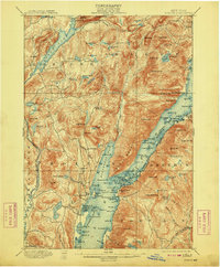
1900 Map of Bolton
USGS Topo · Published 1909About this map
Tongue Mountain and the elongated waters of Lake George dominate this 1900-era landscape, where the primary travel was dictated by the Steamboat Route connecting points along the water. The survey reveals a network of lakeside landings and small settlements such as Bolton Landing, Silver Bay, and Huletts Landing that served as the gateways to the Adirondack interior. Further inland, the map captures the transition to higher elevations marked by Federal Hill and Pole Hill, punctuated by numerous upland water bodies like Brant Lake and Jabe Pond. The boundary between Warren Co and Washington Co runs directly through the lake, underscoring the regional significance of this waterway. The terrain is defined by its numerous brooks and ponds, such as Mill Brook and Spectacle Ponds, which supported the early local economy of this mountain region.
Find a feature on this map
154 named features on this map. Tap any name to fly to it.
Don’t see what you’re looking for? This feature index may not catch every label — zoom into the map to look around manually.
Map Details
Editions of this 1900 Bolton Map
13 editions found

1900 edition
16.6 x 20.1 inches
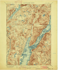
1902 edition
16.6 x 20.1 inches
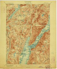
1906 edition
16.6 x 20.1 inches
1909 edition
16.6 x 20 inches
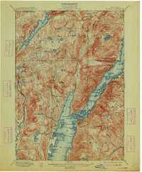
1913 edition
16.6 x 20.1 inches
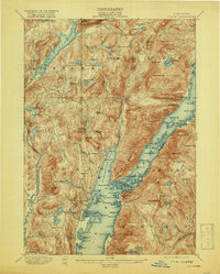
1919 edition
16.3 x 20.4 inches
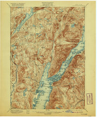
1920 edition
16.6 x 20.1 inches
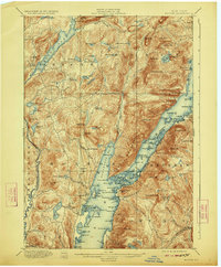
1923 edition
16.6 x 20.1 inches
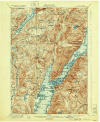
1930 edition
16.6 x 20.1 inches
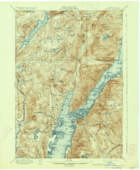
1934 edition
16.6 x 20.2 inches
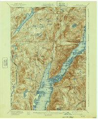
1940 edition
16.6 x 20.2 inches
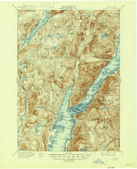
1946 edition
17 x 20.9 inches
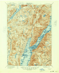
1948 edition
17 x 20.9 inches
Other maps of this area

1893 · Fort Ann
USGS Topo · 1:62,500

1893 · Whitehall
USGS Topo · 1:62,500

1894 · Ticonderoga
USGS Topo · 1:62,500

1895 · Whitehall
USGS Topo · 1:62,500

1895 · North Creek
USGS Topo · 1:62,500

1895 · Fort Ann
USGS Topo · 1:62,500

1895 · Paradox Lake
USGS Topo · 1:62,500

1895 · Glens Falls
USGS Topo · 1:62,500

1896 · Ticonderoga
USGS Topo · 1:62,500

1897 · Bolton
USGS Topo · 1:62,500