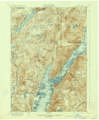
1900 Map of Bolton
USGS Topo · Published 1934About this map
The Schroon River and the western shores of Lake George define this late nineteenth-century landscape, surveyed years before modern development reshaped the Adirondack foothills. The area is marked by a complex network of internal drainage, with dozens of isolated water bodies like Brant Lake, Jabe Pond, and Spectacle Ponds scattered among prominent peaks such as Black Mt and Elephant Mt. Settlement is concentrated along the lakefront, where Bolton Landing, Hague, and Huletts Landing serve as primary hubs. Of particular note for transportation history is the designated Steamboat Route navigating the narrow waters between the Mother Bunch Ids. and the western cliffs. The map reveals a wilder, more fragmented terrain than today, with numerous small landings and points like Sabbathday Point and Deer Leap serving as the primary interfaces between the water and the rising upland forests of Horicon and Bolton.
Find a feature on this map
146 named features on this map. Tap any name to fly to it.
Don’t see what you’re looking for? This feature index may not catch every label — zoom into the map to look around manually.
Map Details
Editions of this 1900 Bolton Map
13 editions found

1900 edition
16.6 x 20.1 inches
1902 edition
16.6 x 20.1 inches
1906 edition
16.6 x 20.1 inches
1909 edition
16.6 x 20 inches
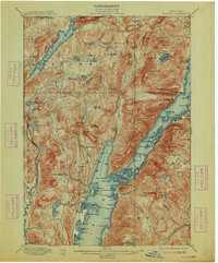
1913 edition
16.6 x 20.1 inches
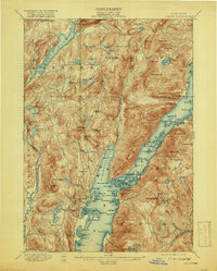
1919 edition
16.3 x 20.4 inches
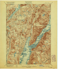
1920 edition
16.6 x 20.1 inches
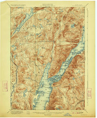
1923 edition
16.6 x 20.1 inches
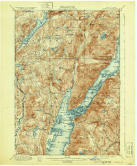
1930 edition
16.6 x 20.1 inches
1934 edition
16.6 x 20.2 inches
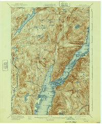
1940 edition
16.6 x 20.2 inches
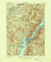
1946 edition
17 x 20.9 inches
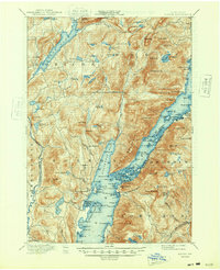
1948 edition
17 x 20.9 inches
Other maps of this area

1893 · Fort Ann
USGS Topo · 1:62,500

1893 · Whitehall
USGS Topo · 1:62,500

1894 · Ticonderoga
USGS Topo · 1:62,500

1895 · Whitehall
USGS Topo · 1:62,500

1895 · North Creek
USGS Topo · 1:62,500

1895 · Fort Ann
USGS Topo · 1:62,500

1895 · Paradox Lake
USGS Topo · 1:62,500

1895 · Glens Falls
USGS Topo · 1:62,500

1896 · Ticonderoga
USGS Topo · 1:62,500

1897 · Bolton
USGS Topo · 1:62,500