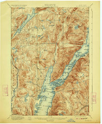
1900 Map of Bolton
USGS Topo · Published 1923About this map
The western shores of Lake George define this landscape, recorded here as the region's resort and timber economy matured. The prominent Steamboat Route cuts through the center of the lake, connecting various islands and landings that served as hubs for early tourism and commerce. Settlements like Bolton Landing and Hague are shown in their late 19th-century configurations, while smaller hamlets such as Huddle and Federal Hill provide evidence of more localized mountain communities.
Find a feature on this map
139 named features on this map. Tap any name to fly to it.
Don’t see what you’re looking for? This feature index may not catch every label — zoom into the map to look around manually.
Map Details
Editions of this 1900 Bolton Map
13 editions found

1900 edition
16.6 x 20.1 inches
1902 edition
16.6 x 20.1 inches
1906 edition
16.6 x 20.1 inches
1909 edition
16.6 x 20 inches
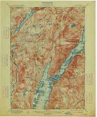
1913 edition
16.6 x 20.1 inches
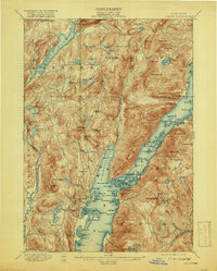
1919 edition
16.3 x 20.4 inches
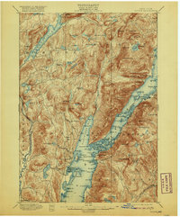
1920 edition
16.6 x 20.1 inches
1923 edition
16.6 x 20.1 inches
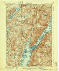
1930 edition
16.6 x 20.1 inches
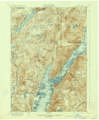
1934 edition
16.6 x 20.2 inches
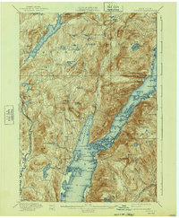
1940 edition
16.6 x 20.2 inches
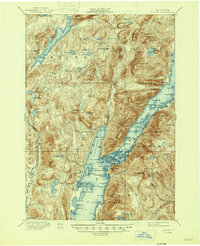
1946 edition
17 x 20.9 inches
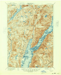
1948 edition
17 x 20.9 inches
Other maps of this area

1893 · Fort Ann
USGS Topo · 1:62,500

1893 · Whitehall
USGS Topo · 1:62,500

1894 · Ticonderoga
USGS Topo · 1:62,500

1895 · Whitehall
USGS Topo · 1:62,500

1895 · North Creek
USGS Topo · 1:62,500

1895 · Fort Ann
USGS Topo · 1:62,500

1895 · Paradox Lake
USGS Topo · 1:62,500

1895 · Glens Falls
USGS Topo · 1:62,500

1896 · Ticonderoga
USGS Topo · 1:62,500

1897 · Bolton
USGS Topo · 1:62,500