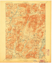
1897 Map of Schroon Lake
USGS Topo · Published 1905About this map
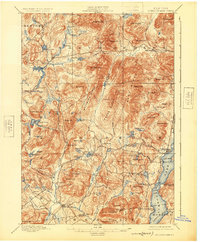
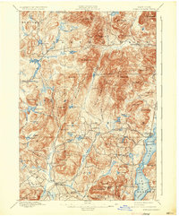
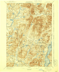
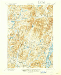
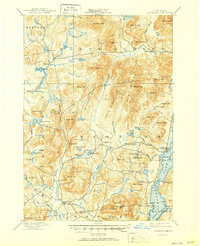
Schroon Lake serves as the dominant feature of this Adirondack landscape, which was surveyed in the final years of the 19th century. Along its shores, the established landing at Taylors on Schroon and the Steamboat Route signify the importance of waterborne transport before modern highways. To the west, the rugged interior is marked by significant topographic features like the Hoffman Notch and Texas Ridge, separating the drainage of the Boreas River from the primary lake basin. Small, isolated settlements such as Irishtown, Loch Muller, and Olmstedville appear as tight clusters of structures connected by primitive roads, reflecting the early settlement patterns of the Essex and Warren County border.
Find a feature on this map
105 named features on this map. Tap any name to fly to it.
Don’t see what you’re looking for? This feature index may not catch every label — zoom into the map to look around manually.
Map Details
Editions of this 1897 Schroon Lake Map
10 editions found
Other maps of this area

1894 · Elizabethtown
USGS Topo · 1:62,500

1895 · Elizabethtown
USGS Topo · 1:62,500

1895 · North Creek
USGS Topo · 1:62,500

1895 · Mt. Marcy
USGS Topo · 1:62,500

1895 · Paradox Lake
USGS Topo · 1:62,500

1897 · Bolton
USGS Topo · 1:62,500

1897 · Paradox Lake
USGS Topo · 1:62,500

1897 · North Creek
USGS Topo · 1:62,500

1897 · Schroon Lake
USGS Topo · 1:62,500

1898 · Newcomb
USGS Topo · 1:62,500