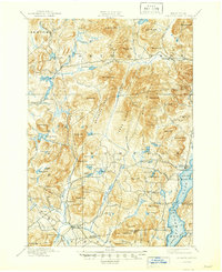
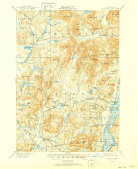
1897 Map of Schroon Lake
USGS Topo · Published 1947About this map
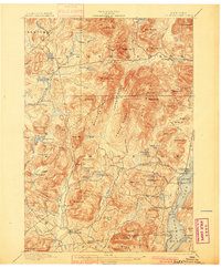
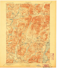
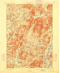
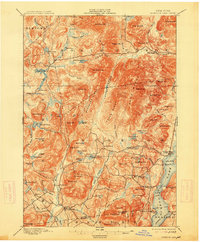
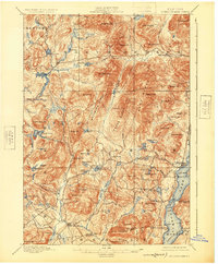
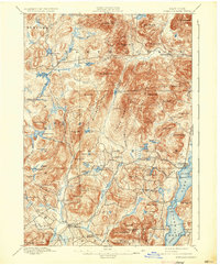
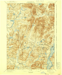
Schroon Lake and its surrounding wilderness are captured here during a period of reconnaissance surveying within the Adirondack Park. The landscape is defined by massive formations such as Blue Ridge and Hoffman Mt., separated by the deep corridor of Hoffman Notch. Human activity is concentrated along the western shores of the lake at Schroon Lake village and south toward South Schroon, where a designated Steamboat Route underscores the importance of water transport before the dominance of modern highways.
Find a feature on this map
95 named features on this map. Tap any name to fly to it.
Don’t see what you’re looking for? This feature index may not catch every label — zoom into the map to look around manually.
Map Details
Editions of this 1897 Schroon Lake Map
10 editions found
Other maps of this area

1894 · Elizabethtown
USGS Topo · 1:62,500

1895 · Elizabethtown
USGS Topo · 1:62,500

1895 · North Creek
USGS Topo · 1:62,500

1895 · Mt. Marcy
USGS Topo · 1:62,500

1895 · Paradox Lake
USGS Topo · 1:62,500

1897 · Bolton
USGS Topo · 1:62,500

1897 · Paradox Lake
USGS Topo · 1:62,500

1897 · North Creek
USGS Topo · 1:62,500

1897 · Schroon Lake
USGS Topo · 1:62,500

1898 · Newcomb
USGS Topo · 1:62,500