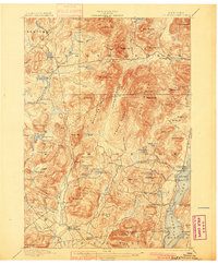
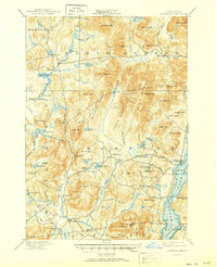
1897 Map of Schroon Lake
USGS Topo · Published 1900About this map
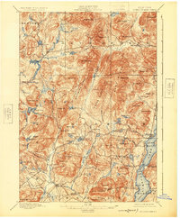
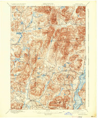
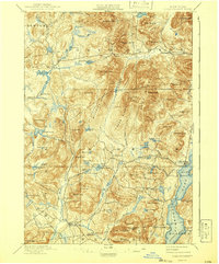
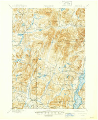
Schroon Lake dominates the southeastern quadrant of this 1897 survey, serving as a focal point for Adirondack settlement and travel at the close of the nineteenth century. Along its shores, landmarks like Isola Bella and Taylors on Schroon illustrate the early recreational development of the region, while a Steamboat Route traces the primary waterborne transportation artery of the era. The interior terrain is defined by rugged elevation, with high points such as Hoffman Mt. and Nippletop Mt. overlooking a landscape of drainage and timber operations. Early hydraulic management is evident at Brace Dam and Lester Dam along the Boreas River, supporting local industrial needs. Small upland communities, including Loch Muller, Irishtown, and Olmstedville, are connected by a network of early roads and Boundary Lane, showing the established pattern of rural life before modern highway expansion.
Find a feature on this map
99 named features on this map. Tap any name to fly to it.
Don’t see what you’re looking for? This feature index may not catch every label — zoom into the map to look around manually.
Map Details
Editions of this 1897 Schroon Lake Map
10 editions found
Other maps of this area

1894 · Elizabethtown
USGS Topo · 1:62,500

1895 · Elizabethtown
USGS Topo · 1:62,500

1895 · North Creek
USGS Topo · 1:62,500

1895 · Mt. Marcy
USGS Topo · 1:62,500

1895 · Paradox Lake
USGS Topo · 1:62,500

1897 · Bolton
USGS Topo · 1:62,500

1897 · Paradox Lake
USGS Topo · 1:62,500

1897 · North Creek
USGS Topo · 1:62,500

1897 · Schroon Lake
USGS Topo · 1:62,500

1898 · Newcomb
USGS Topo · 1:62,500