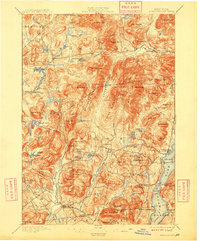
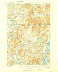
1897 Map of Schroon Lake
USGS Topo · Published 1909About this map
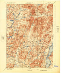
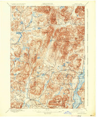
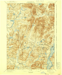
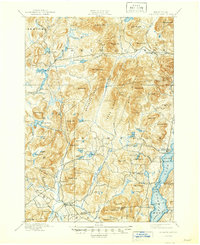
Schroon Lake serves as the focal point of this late 19th-century Adirondack study, where the Steamboat Route tracks north through the narrows toward Gull Pt. and Grove Pt. Along the western shores, small pockets of settlement like Taylors on Schroon and South Schroon suggest the early development of the region's recreation and timber economies. The map captures an era of active logging, evidenced by Lester Dam on the Boreas River and Brace Dam further north, structures essential for managing water levels during seasonal drives.
Find a feature on this map
91 named features on this map. Tap any name to fly to it.
Don’t see what you’re looking for? This feature index may not catch every label — zoom into the map to look around manually.
Map Details
Editions of this 1897 Schroon Lake Map
10 editions found
Other maps of this area

1894 · Elizabethtown
USGS Topo · 1:62,500

1895 · Elizabethtown
USGS Topo · 1:62,500

1895 · North Creek
USGS Topo · 1:62,500

1895 · Mt. Marcy
USGS Topo · 1:62,500

1895 · Paradox Lake
USGS Topo · 1:62,500

1897 · Bolton
USGS Topo · 1:62,500

1897 · Paradox Lake
USGS Topo · 1:62,500

1897 · North Creek
USGS Topo · 1:62,500

1897 · Schroon Lake
USGS Topo · 1:62,500

1898 · Newcomb
USGS Topo · 1:62,500