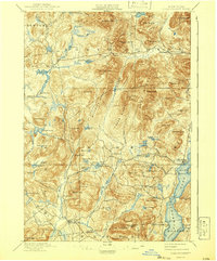
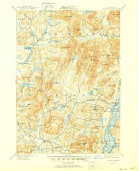
1897 Map of Schroon Lake
USGS Topo · Published 1941About this map
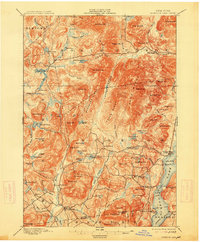
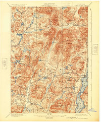
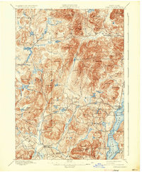
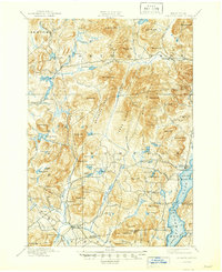
Schroon Lake and its surrounding wilderness are captured here during a period of transition in the Adirondacks, just as the region was being formally protected within the park boundaries. The settlement pattern reflects a reliance on the water, with clusters at Olmstedville and Loch Muller, while the southern end of the lake features the Steamboat Route connecting Taylors on Schroon and South Schroon. This era was defined by the logging industry, evidenced by Brace Dam and Lester Dam along the Boreas River, which were essential for managing timber drives.
Find a feature on this map
101 named features on this map. Tap any name to fly to it.
Don’t see what you’re looking for? This feature index may not catch every label — zoom into the map to look around manually.
Map Details
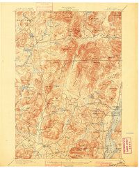
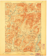
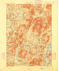
Editions of this 1897 Schroon Lake Map
10 editions found
Other maps of this area

1894 · Elizabethtown
USGS Topo · 1:62,500

1895 · Elizabethtown
USGS Topo · 1:62,500

1895 · North Creek
USGS Topo · 1:62,500

1895 · Mt. Marcy
USGS Topo · 1:62,500

1895 · Paradox Lake
USGS Topo · 1:62,500

1897 · Bolton
USGS Topo · 1:62,500

1897 · Paradox Lake
USGS Topo · 1:62,500

1897 · North Creek
USGS Topo · 1:62,500

1897 · Schroon Lake
USGS Topo · 1:62,500

1898 · Newcomb
USGS Topo · 1:62,500