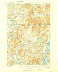
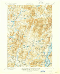
1897 Map of Schroon Lake
USGS Topo · Published 1950About this map
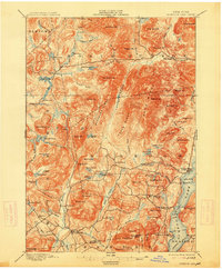
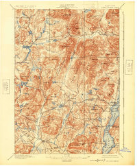
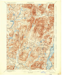
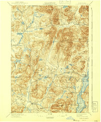
The Schroon Lake region of the Adirondacks is revealed in this late 19th-century survey, showing a landscape defined by industrial logging and early mountain tourism. Industrial activity is anchored by structures like Lester Dam and Brace Dam along the Boreas River, while a Steamboat Route navigates the waters of the lake, connecting eastern shores at Adirondack to southwestern landings. The topography is exceptionally dense, featuring prominent peaks such as Nippletop Mt. and Hoffman Mt., which flank the Texas Ridge and Washburn Ridge. Local life is concentrated in small settlements like Olmstedville and Irishtown, while the name Loch Muller suggests the cultural imprints of specific immigrant communities during this era of inland expansion. This sheet documents the delicate balance between the wild forest and the developing settlements of Newcomb and South Schroon before modern infrastructure altered the Adirondack wilderness.
Find a feature on this map
102 named features on this map. Tap any name to fly to it.
Don’t see what you’re looking for? This feature index may not catch every label — zoom into the map to look around manually.
Map Details
Editions of this 1897 Schroon Lake Map
10 editions found
Other maps of this area

1894 · Elizabethtown
USGS Topo · 1:62,500

1895 · Elizabethtown
USGS Topo · 1:62,500

1895 · North Creek
USGS Topo · 1:62,500

1895 · Mt. Marcy
USGS Topo · 1:62,500

1895 · Paradox Lake
USGS Topo · 1:62,500

1897 · Bolton
USGS Topo · 1:62,500

1897 · Paradox Lake
USGS Topo · 1:62,500

1897 · North Creek
USGS Topo · 1:62,500

1897 · Schroon Lake
USGS Topo · 1:62,500

1898 · Newcomb
USGS Topo · 1:62,500