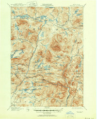
1901 Map of Newcomb
USGS Topo · Published 1951About this map
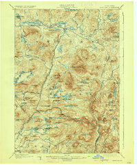
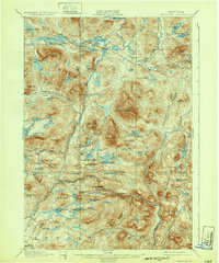
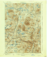
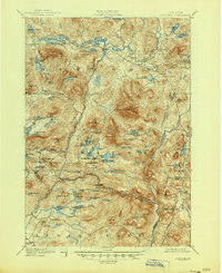
The Hudson River flows through the center of this mountain landscape at the turn of the century, serving as the primary drainage for a complex network of high peaks and glacial ponds. This 1896 survey depicts the interior Adirondacks when the logging and sporting industries were the primary drivers of settlement. The small community of Newcomb sits at the northern edge, positioned between Rich Lake and Harris Lake. To the south, the Northwoods Club and a Clubhouse near Moose Pond indicate the area's established role as a private sporting retreat during the Gilded Age. Steep elevations like Vanderwhacker Mt. and Polaris Mt. dominate the terrain, while the confluence of the Hudson River and Indian Lake district reveals the early river-driving routes used by timber crews. Genealogists and historians will find isolated outposts such as Aiden Lair and Gooley, which provided crucial stopping points for travelers and woodsmen moving through the high country before modern infrastructure.
Find a feature on this map
94 named features on this map. Tap any name to fly to it.
Don’t see what you’re looking for? This feature index may not catch every label — zoom into the map to look around manually.
Map Details
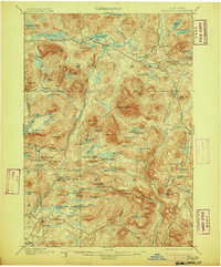
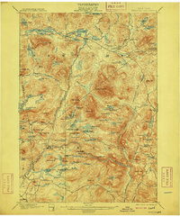
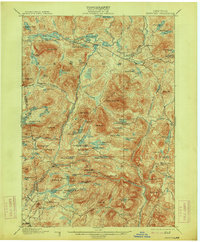
Editions of this 1901 Newcomb Map
9 editions found
Other maps of this area

1895 · North Creek
USGS Topo · 1:62,500

1895 · Mt. Marcy
USGS Topo · 1:62,500

1897 · North Creek
USGS Topo · 1:62,500

1897 · Schroon Lake
USGS Topo · 1:62,500

1898 · Newcomb
USGS Topo · 1:62,500

1898 · Thirteenth Lake
USGS Topo · 1:62,500

1899 · Indian Lake
USGS Topo · 1:62,500

1901 · Newcomb
USGS Topo · 1:62,500

1902 · Mt. Marcy
USGS Topo · 1:62,500

1902 · Indian Lake
USGS Topo · 1:62,500