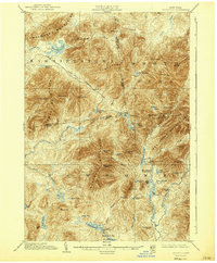
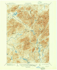
1904 Map of Santanoni
USGS Topo · Published 1940About this map
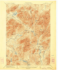
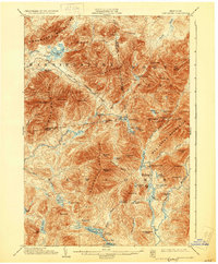
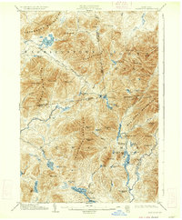
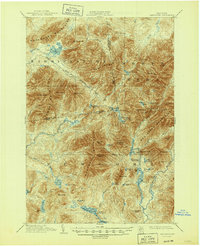
Mac Intyre Ironworks and the Tahawus Club stand as rare human outposts in this dense mountain landscape surveyed at the turn of the twentieth century. The map illustrates a high-altitude wilderness defined by the massive Mac Intyre Mountains, Seward Mountains, and the Santanoni Mountain range. Travel through this vertical terrain is marked by the Government Trail and the dramatic Indian Pass. Water is a constant presence, from the remote Henderson Lake and Harkness Lake to the headwaters of the Chubb River and Cold River. The inclusion of various logging or sporting camps, such as Camp Santanoni and Big Camp, suggests a transitional period where industrial extraction and early wilderness recreation coexisted in the high peaks. The topography reveals the isolation of peaks like Santanoni Peak and Mt. Adams before modern development reached the interior.
Find a feature on this map
78 named features on this map. Tap any name to fly to it.
Don’t see what you’re looking for? This feature index may not catch every label — zoom into the map to look around manually.
Map Details
Editions of this 1904 Santanoni Map
10 editions found

Other maps of this area

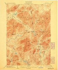
1895 · Mt. Marcy
USGS Topo · 1:62,500

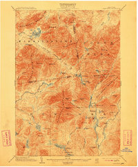
1896 · Lake Placid
USGS Topo · 1:62,500

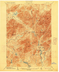
1897 · Schroon Lake
USGS Topo · 1:62,500

1898 · Newcomb
USGS Topo · 1:62,500

1898 · Lake Placid
USGS Topo · 1:62,500

1901 · Newcomb
USGS Topo · 1:62,500

1902 · Mt. Marcy
USGS Topo · 1:62,500

1902 · Saranac
USGS Topo · 1:62,500

1903 · Blue Mountain
USGS Topo · 1:62,500

1904 · Saranac
USGS Topo · 1:62,500