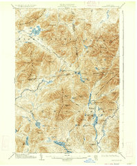
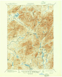
1904 Map of Santanoni
USGS Topo · Published 1934About this map
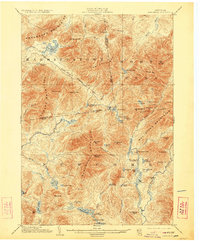
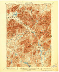
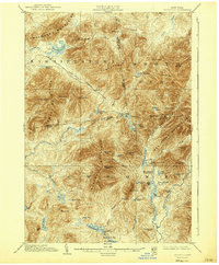
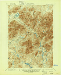
The Mac Intyre Ironworks and the nearby Tahawus Club anchor the southeast corner of this Adirondack landscape, representing the dual history of industrial ambition and elite wilderness recreation in New York. This 1904 survey, reprinted in 1934, documents a transitional era where the headwaters of the Hudson River flow through timber and mining interests. The map meticulously traces the Government Trail as it winds through the Santanoni Mountain and Sawtooth Mountains, providing a clear record of the early paths connecting remote outposts like Camp Santanoni and Camp No. 4. Terrain features like Indian Pass and Wallface Mt. highlight the dramatic verticality of the Mac Intyre Mountains, while numerous remote ponds such as Moose Pond and Duck Hole define the watershed before significant modern development altered these backcountry routes.
Find a feature on this map
73 named features on this map. Tap any name to fly to it.
Don’t see what you’re looking for? This feature index may not catch every label — zoom into the map to look around manually.
Map Details
Editions of this 1904 Santanoni Map
10 editions found

Other maps of this area

1895 · Mt. Marcy
USGS Topo · 1:62,500

1896 · Lake Placid
USGS Topo · 1:62,500

1897 · Schroon Lake
USGS Topo · 1:62,500

1898 · Newcomb
USGS Topo · 1:62,500

1898 · Lake Placid
USGS Topo · 1:62,500

1901 · Newcomb
USGS Topo · 1:62,500

1902 · Mt. Marcy
USGS Topo · 1:62,500

1902 · Saranac
USGS Topo · 1:62,500

1903 · Blue Mountain
USGS Topo · 1:62,500

1904 · Saranac
USGS Topo · 1:62,500