Old Maps of Darien, New York for Academic Research
Study the evolution of Darien with 36 high-resolution historic maps. Whether you're teaching, researching, or modeling changes in land use, these maps provide essential visual documentation of urban, environmental, and geographic change.
- Analyze long-term change: Track patterns in development, transportation, and natural features.
- Ideal for environmental or urban studies: Support academic projects with primary historical map data.
- Use in the classroom or lab: Educators and researchers rely on these maps to bring historical context to life.
These maps are a powerful tool for teaching, research, and visualizing how Darien has changed over the decades.
Darien, NY maps
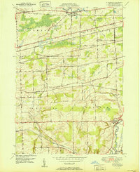
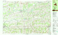
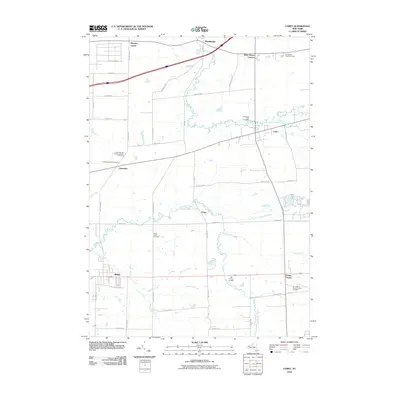
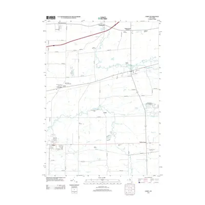
(36)- 1905 Map of Attica
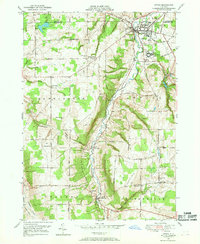
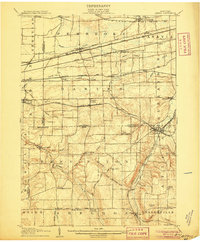 1905 Attica1905 Print · USGSWestern New York at the turn of the century shows a landscape dominated by a massive web of competing railroads. Genealogists can trace family names and small hamlets like Folsomdale, Darien Center, and the industrial hub at Attica.5 unique versions available
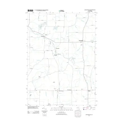
 - 1944 Map of Alexander
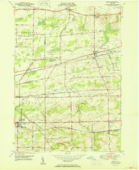
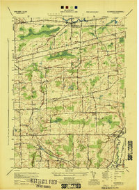 1944 Alexander1944 Print · USGSGenesee County at the close of the war reveals a landscape dominated by a vital rail network and small farming hamlets. Local researchers can trace old routes near Darien City or locate historical sites like Hillside Cemetery and Lehigh Sta.
 - 1949 Map of Attica, 1953 Print
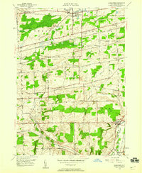
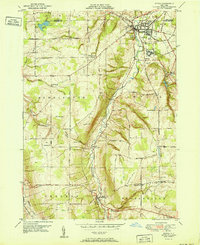
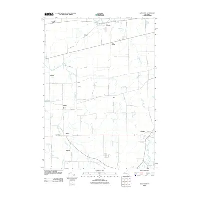
 1949 Attica1953 Print · USGSWestern New York at mid-century reveals a dense network of major railroads and rural hamlets across Genesee and Wyoming counties. Genealogists and historians can trace family locations through numerous numbered schools, named crossroads like Brick House Corners, and landmarks such as the Attica State Prison.
 - 1949 Map of Alexander, 1960 Print
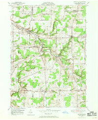
 1949 Alexander1960 Print · USGSPost-war Genesee County retains its deep railroad identity, with four major lines crossing the townships of Alexander and Darien. Genealogists can trace family footprints at Hillside Cem, School No 8, and the old station at Sawens.2 unique versions available
 - 1949 Map of Cowlesville, 1969 Print
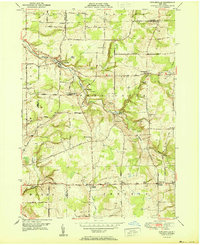
 1949 Cowlesville1969 Print · USGSWyoming County's rural character is well-preserved here in the years following the war, showing a landscape defined by small crossroads hamlets and creek-side settlements. Genealogists can trace family roots through sites like Persons Corners, Persons Cem, and several numbered schoolhouses including School No 19.
 - 1949 Map of Attica, 1969 Print
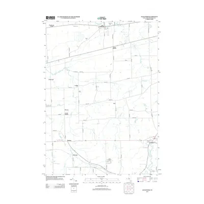
 1949 Attica1969 Print · USGSWestern New York’s rural landscape is captured here in the late 1940s, centered on the rail hub of Attica. Researchers can trace the dual rail lines of the Erie RR and Attica and Arcade RR or locate family sites near Varysburg and East Bennington.2 unique versions available
 - 1950 Map of Corfu
 1950 Corfu1950 Print · USGSThe Erie and Genesee County borderlands thrived at mid-century as a vital railroad corridor between Buffalo and Batavia. Researchers can trace the path of four major rail lines and locate rural landmarks like Brick House Corners, School No. 13, and Fargo.2 unique versions available
 - 1951 Map of Cowlesville
 1951 Cowlesville1951 Print · USGSWestern New York's rural Wyoming County townships are shown here in the early fifties, a landscape of creek-fed valleys and small crossroads hamlets. Researchers can trace historic district schools and cemeteries like School No 12 and Fairview Cem near Cowlesville.
 - 1951 Map of Attica
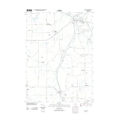
 1951 Attica1951 Print · USGSWestern New York's Wyoming County is surveyed here in the early postwar years, centered on the vital rail hub of Attica. Genealogists and historians can trace the rural landscape through family-named sites and landmarks like Danley Corners, St Vincent Cem, and the County Home.
 - 1951 Map of Alexander
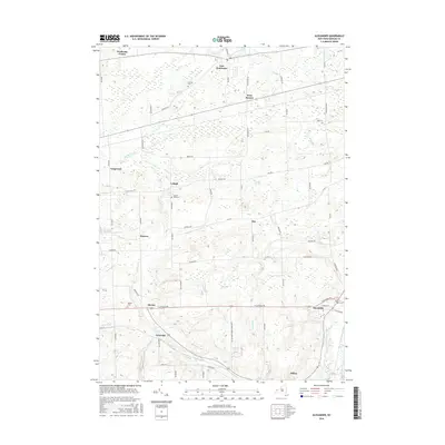
 1951 Alexander1951 Print · USGSGenesee County's agricultural and rail-connected landscape is preserved here in the mid-twentieth century. Researchers can trace historic property access along Wortendyke Road and locate rural hubs like Sawens or Maple Hill Cem.
 - 1960 Map of Buffalo
 1960 Buffalo1960 Print · USGSWestern New York and the Niagara Peninsula thrive during the mid-twentieth century industrial peak. Genealogists and historians can trace family-named points and early settlements from Dunkirk Light to the Allegany Indian Reservation.
 - 1962 Map of Buffalo, 1980 Print
 1962 Buffalo1980 Print · USGSThe Niagara Frontier and Western New York are captured here in the early sixties, showing the vital industrial and maritime nexus between the U.S. and Canada. Researchers can trace the path of the Welland Canal, locate the Allegany Indian Reservation, or find family sites near Chautauqua Lake.2 unique versions available
 - 1967 Map of Buffalo
 1967 Buffalo1967 Print · USGSWestern New York and the Lake Erie shoreline are shown here during the mid-1960s industrial peak. Researchers can trace the massive rail networks of the Erie Railroad, locate the Cattaraugus Indian Reservation, or find historic sites like Fort Erie.
 - 1973 Map of Buffalo
 1973 Buffalo1973 Print · USGSWestern New York and Ontario's Golden Horseshoe meet in the early seventies, spanning from the industrial waterfronts of Buffalo to the hills of Allegany State Park. Trace the paths of the Welland Canal and Erie Lackawanna railroad through the lakefront towns of Dunkirk and Port Colborne.
 - 1984 Map of Corfu
 1984 Corfu1984 Print · USGSWestern New York in the early eighties shows a mix of growing recreation and established rail corridors. Trace family roots at Hillside Cem, locate the old Corfu Station, or explore the early footprint of Darien Lakes State Park.2 unique versions available
 - 1984 Map of Buffalo, 1985 Print
 1984 Buffalo1985 Print · USGSWestern New York's industrial and transport hubs are in full view during the mid-eighties, from the Lake Erie waterfront to the Genesee Valley. Researchers can trace the legacy of the Erie Canal, find ancestral sites like Mount Calvary Cem, or locate the Attica Correctional Facility.2 unique versions available
 - 2010 Map of Cowlesville, 2010 Print
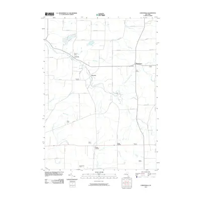 2010 Cowlesville2010 Print · USGSCovers Darien, including Alden, Marilla, and other nearby areas
 - 2010 Map of Attica, 2010 Print
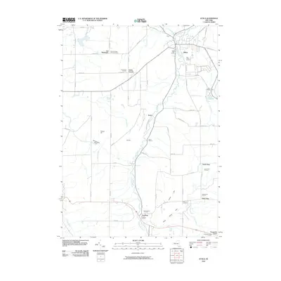 2010 Attica2010 Print · USGSCovers Darien, including Attica, Bennington, and other nearby areas
 - 2010 Map of Corfu, 2010 Print
 2010 Corfu2010 Print · USGSCovers Darien, including Alden, Newstead, and other nearby areas
 - 2010 Map of Alexander, 2010 Print
 2010 Alexander2010 Print · USGSCovers Darien, including Batavia, Pembroke, and other nearby areas
 - 2013 Map of Alexander, 2013 Print
 2013 Alexander2013 Print · USGSCovers Darien, including Batavia, Pembroke, and other nearby areas
 - 2013 Map of Attica, 2013 Print
 2013 Attica2013 Print · USGSCovers Darien, including Attica, Bennington, and other nearby areas
 - 2013 Map of Corfu, 2013 Print
 2013 Corfu2013 Print · USGSCovers Darien, including Alden, Newstead, and other nearby areas
 - 2013 Map of Cowlesville, 2013 Print
 2013 Cowlesville2013 Print · USGSCovers Darien, including Alden, Marilla, and other nearby areas
 - 2016 Map of Alexander, 2016 Print
 2016 Alexander2016 Print · USGSCovers Darien, including Batavia, Pembroke, and other nearby areas
Showing maps 1-25 of 36
Top cities near Darien
- Lancaster historical maps
- Clarence historical maps
- Batavia historical maps
- Aurora historical maps
- Elma historical maps
- Alden historical maps
See more
Top neighborhoods of Darien
- Fargo historical maps
- Griswold historical maps
- Lehigh historical maps
- Longwood historical maps
- Sawens historical maps
- North Darien historical maps
See more
Frequently asked questions
- What are the different types of historical maps available for Darien?
- What is the oldest map of Darien?
- Where can I purchase historical maps of Darien for my home or office?
- Where can I download high-res historical maps of Darien?
- Are there historical topographic maps available for Darien?
- Is there historical aerial imagery available for Darien?
- Where are historical maps of Darien sourced from?