2000s (21st Century) Maps of Windham, New York
Explore 25 historic maps of Windham from the 2000s (21st Century). These maps offer a rare glimpse into what life looked like during the 2000s — showing old roads, neighborhoods, homes, and landmarks that have changed or disappeared over time.
Whether you're researching your family's past, planning a metal detecting trip, or studying how Windham's landscape evolved across the 2000s, these high-resolution maps are a powerful tool for exploring the history of this region.
- Focus on a specific era: All maps on this page are from the 2000s, giving you a focused view of this time period.
- See what’s changed: Compare century-old streets, trails, and buildings to today's modern landscape using overlays and satellite layers.
- Research with precision: Use these maps for genealogy, historical research, land use analysis, or educational projects.
- View, download, or print: Maps are fully viewable online in high resolution, and can be downloaded or printed for your own records.
Start exploring Windham's history through authentic maps from the 2000s. This is your window into the past.
Windham, NY maps
(25)- 2010 Map of Freehold, 2010 Print
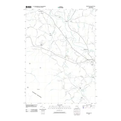 2010 Freehold2010 Print · USGSGreene County is shown here in the early twenty-first century, where the valley floor of Catskill Creek meets the high peaks. Genealogists and local historians can trace burial sites at Taylor Cemetery or explore the rural hubs of Cairo and East Durham.
 - 2010 Map of Durham, 2010 Print
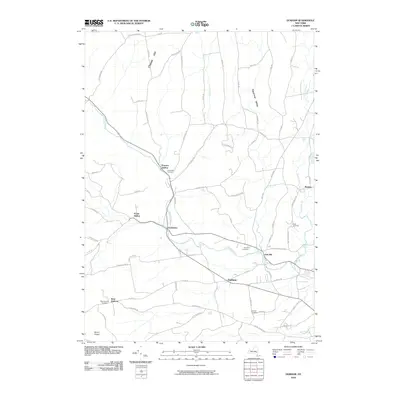 2010 Durham2010 Print · USGSThe rural hamlets of Greene County are captured here in the early twenty-first century, showing a landscape of deep valleys and creek-side settlements. Genealogists and local historians can trace family roots through sites like Brookside Cemetery, West Durham, and Medusa.
 - 2010 Map of Hensonville, 2010 Print
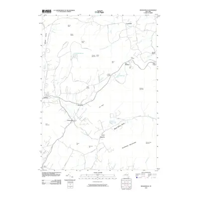 2010 Hensonville2010 Print · USGSThe Greene County highlands are captured here in the early 2000s, showing a network of mountain hamlets and historic burial grounds. Genealogists can locate family sites like the Peter Van Orden Rural Cemetery or trace the settlements of Hensonville, Maplecrest, and Windham.
 - 2010 Map of Livingstonville, 2010 Print
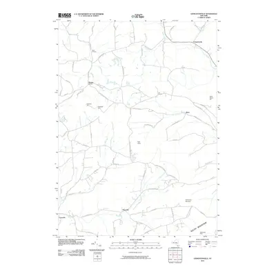 2010 Livingstonville2010 Print · USGSThe hill country of Greene and Schoharie Counties remains a landscape of winding creek valleys and high peaks at the start of the 21st century. Researchers can trace rural lineages at Keyser Cemetery or follow old routes through Bates and Broome Center.
 - 2010 Map of Ashland, 2010 Print
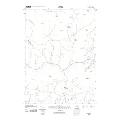 2010 Ashland2010 Print · USGSGreene County’s high peaks and deep hollows are captured here at the start of the 2010s, showing a landscape defined by mountain agriculture and modern recreation. Researchers can trace family history through numerous small burial grounds like Sutton Hollow Cemetery and Jewett Heights Cemetery.
 - 2013 Map of Hensonville, 2013 Print
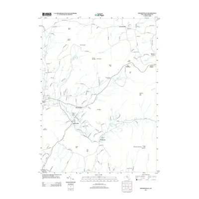 2013 Hensonville2013 Print · USGSThe northern Catskill Mountains define this area in the early twenty-first century, showing the settlement patterns along the Batavia Kill. Genealogists can locate several historic burial sites like the Peter Van Orden Rural Cem and Union Society Cem near Hensonville.
 - 2013 Map of Freehold, 2013 Print
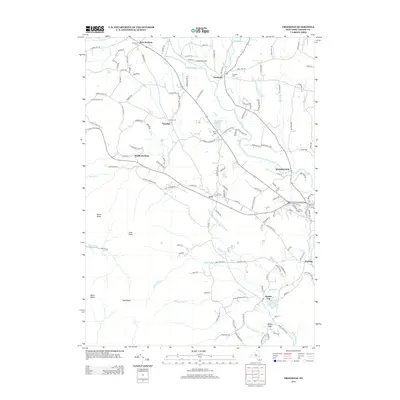 2013 Freehold2013 Print · USGSGreene County’s rugged northern elevations and valley settlements come into focus in this late twenty-first-century survey. Genealogists and researchers can trace local roots through several burial sites including E Durham Cem and Snyder Cem, or locate landmarks like Freehold Airport and Rockefeller Lake.
 - 2013 Map of Livingstonville, 2013 Print
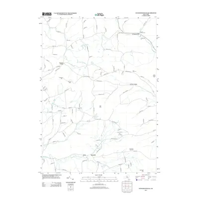 2013 Livingstonville2013 Print · USGSThe Schoharie and Greene County borderlands are shown here in the early twenty-first century, centered on high summits and rural hamlets. Local historians can trace family plots at Livingston Presbyterian Cem or the Scott Patent Cem near Livingstonville.
 - 2013 Map of Durham, 2013 Print
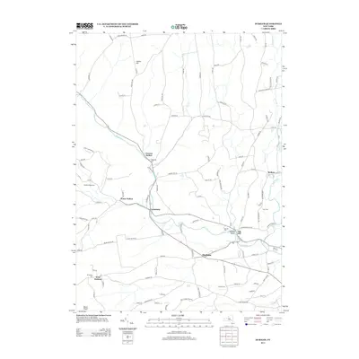 2013 Durham2013 Print · USGSGreene County hamlets follow the winding waters of Catskill Cr through the Catskill foothills in this early twenty-first-century survey. Researchers can trace family roots through several local burial grounds like Durham Cem, Pratt Cem, and Oak Hill Cem.
 - 2013 Map of Ashland, 2013 Print
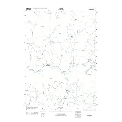 2013 Ashland2013 Print · USGSGreene County’s high peaks and river valleys are captured here in the early twenty-first century as the region balanced its agricultural roots with growing recreation. Researchers can trace genealogical sites like Ashland Cem and Saint Joseph's Chapel Cem or locate the Windham Ski Area slopes.
 - 2016 Map of Durham, 2016 Print
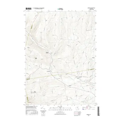 2016 Durham2016 Print · USGSThe northern Catskill foothills and the tri-county border of Albany, Greene, and Schoharie are meticulously detailed in this modern survey. Genealogists and local historians can trace family locations through Preston Hollow, Cooksburg, and cemeteries like Brookside Cem and Pratt Cem.
 - 2016 Map of Ashland, 2016 Print
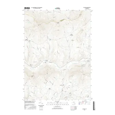 2016 Ashland2016 Print · USGSThe peaks and hollows of the Catskill highlands appear here in the early twenty-first century, showing a landscape of high ridges and deep-set stream valleys. Genealogists can trace family footprints through several small burial sites like Sutton Hollow Cem and Jewett Heights Cem.
 - 2016 Map of Freehold, 2016 Print
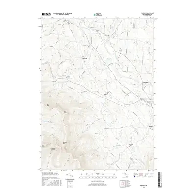 2016 Freehold2016 Print · USGSGreene County, New York, in the mid-2010s shows a landscape of small hamlets and high mountain ridges near the Blackhead Mountains. Researchers can trace local history through numerous burial grounds like Snyder Cem or explore the water network of Catskill Creek and Shingle Kill.
 - 2016 Map of Hensonville, 2016 Print
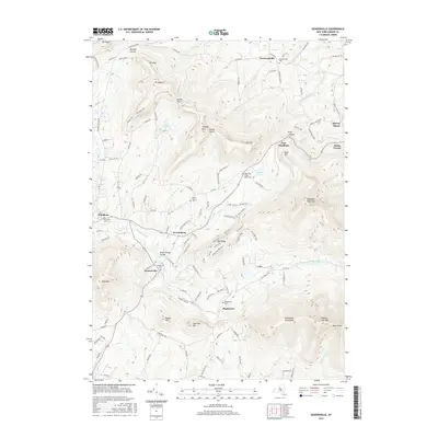 2016 Hensonville2016 Print · USGSThe northern Catskills appear in great detail during the mid-2010s, showing the high-elevation terrain between the Batavia Kill and Blackhead Mountains. Genealogists can trace family footprints through several historic sites like Hensonville Cem and Peter Van Orden Rural Cem.
 - 2016 Map of Livingstonville, 2016 Print
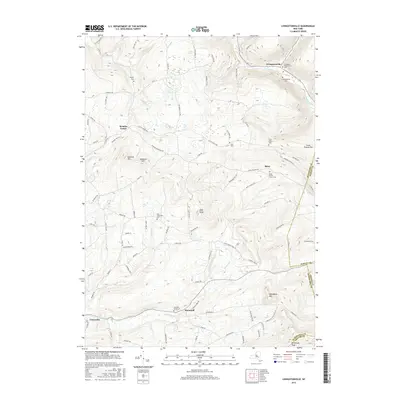 2016 Livingstonville2016 Print · USGSThe Schoharie and Greene County borderlands are shown here in the mid-2010s, centered on the highland settlements and mountain peaks. Genealogists can locate numerous rural burial grounds including the Manorkill Rural Cemetery, Bates Hollow Church Cemetery, and Scott Patent Cemetery.
 - 2019 Map of Durham, 2019 Print
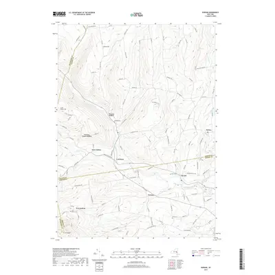 2019 Durham2019 Print · USGSThe foothills of the northern Catskills are revealed in this modern survey of Greene and Albany counties. Trace the paths of early settlers through the valleys of Catskill Creek and discover family plots at Oak Hill Cem and Brookside Cem.
 - 2019 Map of Freehold, 2019 Print
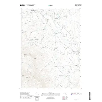 2019 Freehold2019 Print · USGSGreene County's transition from creek valleys to high mountain peaks is captured here in the late 2010s. Researchers can locate several historical burial sites like Acra Village Cem and Taylor Cem, or trace the path of Catskill Creek through Freehold and Cairo.
 - 2019 Map of Livingstonville, 2019 Print
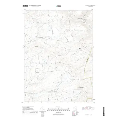 2019 Livingstonville2019 Print · USGSThe Schoharie Valley highlands appear in great detail here during the late twenty-teens, showing the enduring rural layout of Greene and Schoharie counties. Genealogists and historians can locate numerous burial sites, including the Manorkill Rural Cemetery, and trace the paths of the Catskill Creek and Manor Kill.
 - 2019 Map of Hensonville, 2019 Print
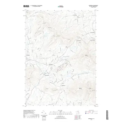 2019 Hensonville2019 Print · USGSThe high peaks and valley hamlets of Greene County appear in great detail during the late twenty-teens. Researchers can trace historic burial grounds like Peter Van Orden Rural Cemetery or explore the mountain terrain near Gold Mine and Windham High Peak.
 - 2019 Map of Ashland, 2019 Print
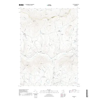 2019 Ashland2019 Print · USGSThe high peaks and deep hollows of Greene and Schoharie counties come into focus in this recent survey of the Catskills. Genealogists and local historians can trace family plots at Ashland Cem, Peck Cem, and Towner Cem near the banks of the East Kill.
 - 2023 Map of Hensonville, 2023 Print
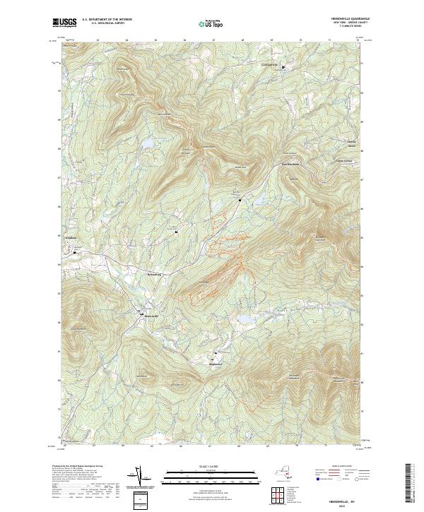 2023 Hensonville2023 Print · USGSGreene County's high peaks and valleys appear in great detail here, showing the Catskills as they are today. Genealogists can locate family plots at the Hensonville Cem or Cornwallville Cem while hikers trace the Long Path Trl over Ginseng Mountain.
 - 2023 Map of Livingstonville, 2023 Print
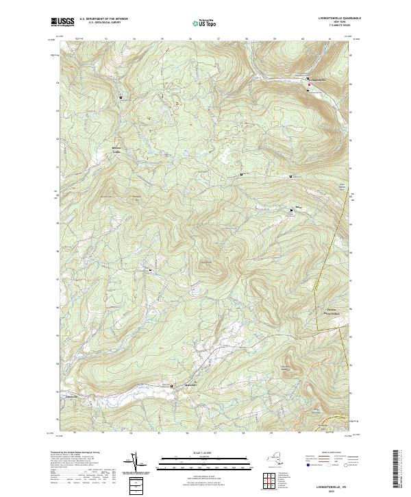 2023 Livingstonville2023 Print · USGSSchoharie County high country near the Albany and Greene borders is shown here in the 2020s. Genealogists can trace early settler footprints at the Livingstonville Presbyterian Cem and hamlets like Broome Center or Bates.
 - 2023 Map of Freehold, 2023 Print
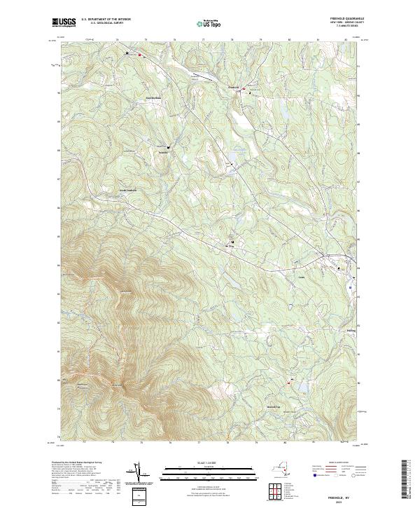 2023 Freehold2023 Print · USGSGreene County’s foothills and high peaks meet in this detailed survey of the northern Catskills. Genealogists and hikers can trace family names at the Acra Village Cem, follow the Escarpment Trl, or locate the rural Freehold Airport.
 - 2023 Map of Durham, 2023 Print
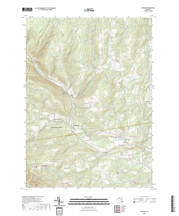 2023 Durham2023 Print · USGSThe northern Catskills around the Greene and Albany county line come into focus in this recent survey. Genealogists and local historians can trace the hamlets of Potter Hollow, Oak Hill, and Medusa, alongside landmarks like Brookside Cem and Mount Pisgah.
 - 2023 Map of Ashland, 2023 Print
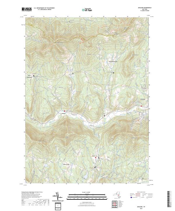 2023 Ashland2023 Print · USGSThe Greene County highlands come into focus in the early 2020s, showing a landscape of deep valleys and mountain ridges. Genealogists can trace family names at Ashland Cem, Freese Cem, and the high-elevation Jewett Heights Cem.
End of results
Showing maps 1-25 of 25
Top cities near Windham
- Saugerties historical maps
- Catskill historical maps
- New Scotland historical maps
- Coeymans historical maps
- Cairo historical maps
- Woodstock historical maps
See more
Top neighborhoods of Windham
Frequently asked questions
- What are the different types of historical maps available for Windham?
- What is the oldest map of Windham?
- Where can I purchase historical maps of Windham for my home or office?
- Where can I download high-res historical maps of Windham?
- Are there historical topographic maps available for Windham?
- Is there historical aerial imagery available for Windham?
- Where are historical maps of Windham sourced from?