Old Maps of Antwerp, New York for Metal Detecting
Plan your next treasure hunt with 62 historic maps of Antwerp. Find old homesites, ghost towns, trails, and gathering spots that may be lost to time — perfect for identifying promising metal detecting locations.
- Locate forgotten sites: Uncover places like long-lost settlements, abandoned rail lines, or gathering spots.
- Plan better hunts: Use map overlays combined with LiDAR or satellite views to narrow in on historically rich areas.
- Made for detectorists: Thousands of hobbyists use these maps to discover relics, coins, and hidden history.
Use these historic maps to boost your research and find new opportunities beneath the surface of Antwerp.
Antwerp, NY maps
(62)- 1903 Map of Theresa
 1903 Theresa1903 Print · USGSJefferson County at the turn of the century was a bustling network of dairy farms and rail junctions. You can trace the path of the Rome Watertown and Ogdensburg Div. through Evans Mills or locate early settlements like Stone Mills and Leraysville.8 unique versions available
 - 1911 Map of Antwerp
 1911 Antwerp1911 Print · USGSJefferson County was a landscape of bustling river towns and intersecting rail lines just after the turn of the century. Trace the early footprints of Antwerp and Sterlingville, or locate family landmarks like Bishops Corners and Woods Mill.6 unique versions available
 - 1912 Map of Hammond
 1912 Hammond1912 Print · USGSThe rural borderlands of St. Lawrence and Jefferson counties are captured here in the early twentieth century. Genealogists and historians can trace defunct district schools like California School and Stark School, or locate the Old Iron Works and rail stops at South Hammond Oakvale Sta.4 unique versions available
 - 1913 Map of Lake Bonaparte, 1956 Print
 1913 Lake Bonaparte1956 Print · USGSThe Lewis and Jefferson County borderlands come to life in this pre-World War I survey of the Lake Bonaparte region. Researchers can trace the old New York Central rail line past historic landmarks like Kimball Mill and the French Settlement School.
 - 1916 Map of Lake Bonaparte
 1916 Lake Bonaparte1916 Print · USGSUpper New York State at the dawn of the twentieth century shows a landscape defined by isolated settlements and a budding rail network. Researchers can trace the legacy of early families and industry through sites like Kimball Mill, Natural Bridge, and the French Settlement School.5 unique versions available
 - 1944 Map of Hammond
 1944 Hammond1944 Print · USGSSt. Lawrence County in the mid-1940s is a landscape of complex waterways and small rural school districts. Genealogists can trace family footprints through numerous local landmarks like Scotch Settlement Sch, the Old Iron Works, and Pope Mills.
 - 1948 Map of Theresa
 1948 Theresa1948 Print · USGSJefferson County in the late nineteen-forties centers on the village of Theresa and the winding Indian River as it passes through the limestone ledges. Genealogists can locate family-named landmarks like Chaufty Cem, Shurtleff Corners, and the tracks of the New York Central.
 - 1948 Map of Theresa, 1953 Print
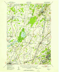 1948 Theresa1953 Print · USGSJefferson County's rural landscape is captured here in the late 1940s as military expansion and river-based industry shaped the region. Researchers can trace family roots through numerous sites like St Marys Cemetery, Bacon School, and the Pine Camp Military Reservation.
 - 1948 Map of Ogdensburg, 1973 Print
 1948 Ogdensburg1973 Print · USGSThe international border along the St Lawrence River comes to life in the late 1940s, showing the vital rail and water connections between New York and Ontario. Researchers can trace the grounds of St Lawrence University, the massive Camp Drum military reservation, and the historic Rideau River and Canal.2 unique versions available
 - 1949 Map of Hammond, 1953 Print
 1949 Hammond1953 Print · USGSSt. Lawrence County in the late 1940s reveals a landscape of interconnected waterways and rural school districts. Genealogists can trace family names through the Scotch Settlement Sch, Black Lake Cemetery, and the Oakvale Station rail stop.3 unique versions available
 - 1949 Map of Antwerp, 1953 Print
 1949 Antwerp1953 Print · USGSNorthern Jefferson County during the late 1940s is defined here by the massive footprint of the Pine Camp Military Reservation. You can trace rural life and ancestry through dozens of schoolhouses and family landmarks like Bishops Corners and Woods Mill.2 unique versions available
 - 1949 Map of North Wilna, 1973 Print
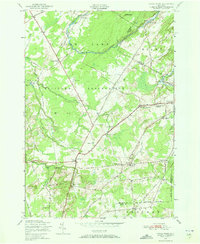 1949 North Wilna1973 Print · USGSJefferson and Lewis Counties in the late 1940s are defined by the intersection of military expansion and rural tradition. Genealogists and local historians can trace family locations through numerous rural school sites like Hosford School No 7 and vanished hamlets such as Woods Mill and Fargo.2 unique versions available
 - 1949 Map of Antwerp, 1974 Print
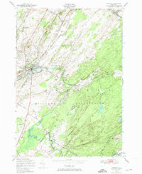 1949 Antwerp1974 Print · USGSAntwerp and the surrounding North Country were undergoing a major military expansion in the late 1940s. Genealogists and historians can trace the intersection of village life and the Pine Camp Military Reservation, locating Hillside Cem and School No 15.2 unique versions available
 - 1949 Map of Philadelphia, 1974 Print
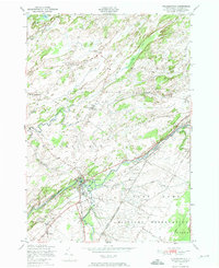 1949 Philadelphia1974 Print · USGSJefferson County at the close of the 1940s shows a landscape of rural crossroads and growing military borders. Genealogists can locate family landmarks like Halls Corners, Sandy Hollow Cemetery, and several numbered schoolhouses.3 unique versions available
 - 1951 Map of Philadelphia
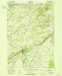 1951 Philadelphia1951 Print · USGSJefferson County’s rural and military landscape comes into focus during the early fifties, centered on the river-and-rail hub of Philadelphia. Researchers can trace old family settlements at Bishops Corners and locate rural landmarks such as the Quaker Cemetery and School No 4.
 - 1951 Map of Antwerp
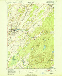 1951 Antwerp1951 Print · USGSAntwerp and its surroundings in the early fifties were shaped by the intersection of the New York Central Railroad and the expansive Pine Camp Military Reservation. Researchers can trace old district boundaries and local landmarks like Hillside Cem, School No 15, and the course of the Indian River.
 - 1951 Map of Muskalonge Lake
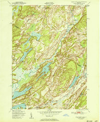 1951 Muskalonge Lake1951 Print · USGSJefferson and St. Lawrence counties are captured in the early fifties, showcasing a rural landscape defined by glacial lakes and district schools. Genealogists can locate family names and burial sites at Riverside Cemetery, Oxbow, and Robb School.
 - 1951 Map of North Wilna
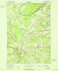 1951 North Wilna1951 Print · USGSThe Jefferson and Lewis County line area is shown here in the early fifties, featuring the large Pine Camp Military Reservation and its surrounding rural hamlets. Local researchers can trace family-named sites like Ormiston Corners, old district schoolhouses, and the Natural Bridge Cemetery near the Indian River.
 - 1951 Map of Ogdensburg
 1951 Ogdensburg1951 Print · USGSThe St. Lawrence frontier and the North Country are captured here during the post-war era, from the river ports to the high Adirondacks. Genealogists and historians can trace the rail-and-river economy through Ogdensburg, the Rutland rail lines, and Potsdam.
 - 1951 Map of Natural Dam
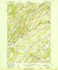 1951 Natural Dam1951 Print · USGSThe St. Lawrence River Valley's winding waterways and rural settlements are shown here just after the war, before modern development shifted the local landscape. Genealogists can locate family landmarks like the Scotch Settlement School, Laidlow School, and the early communities of Oxbow and Wegatchie.
 - 1951 Map of Lake Bonaparte, 1952 Print
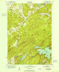 1951 Lake Bonaparte1952 Print · USGSIn the North Country during the early fifties, this area was defined by the intersection of civilian life and the growing Camp Drum Military Reservation. Genealogists and historians can trace old homesteads near Kellogg Corners, quiet lakeside landings at Lake Bonaparte, and the rural crossroads of Alpina.5 unique versions available
 - 1953 Map of Ogdensburg
 1953 Ogdensburg1953 Print · USGSThe North Country and St. Lawrence Valley are shown here in the early fifties, just as the region’s rail-and-river economy remained in full swing. Genealogists and historians can trace family-named corners and rural hubs along the Rutland railroad or locate heritage sites near Ogdensburg, Potsdam, and the St Regis Indian Reservation.
 - 1958 Map of Theresa, 1960 Print
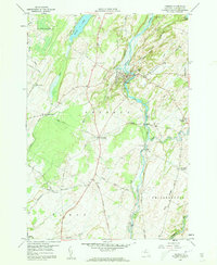 1958 Theresa1960 Print · USGSJefferson County's rural landscape is captured here in the late fifties, centered on the winding Indian River and its village of Theresa. Genealogists and historians can trace family roots at Chaufty Cem, the junction at Rivergate, or the local School No 7.2 unique versions available
 - 1961 Map of Ogdensburg
 1961 Ogdensburg1961 Print · USGSThe St. Lawrence valley and the Adirondack high country meet in this early sixties survey during a peak era for rail and river commerce. Genealogists and historians can trace the paths of the New York Central railroad through remote settlements like Wanakena, Conifer, and Piercefield.
 - 1961 Map of Natural Dam, 1964 Print
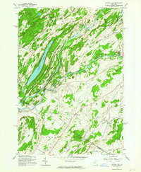 1961 Natural Dam1964 Print · USGSSt. Lawrence County in the early 1960s is defined by the winding Oswegatchie River and its riverside hamlets. Genealogists and local historians can trace family-named roads and remote settlements like Wegatchie, Little Bow, and the rail-stop at Spragueville.3 unique versions available
Showing maps 1-25 of 62
Top cities near Antwerp
- Le Ray historical maps
- Gouverneur historical maps
- Wilna historical maps
- Champion historical maps
- Alexandria historical maps
- Calcium historical maps
See more
Top neighborhoods of Antwerp
- Halls Corner historical maps
- Bentleys Corners historical maps
- Antwerp historical maps
- Oxbow historical maps
Frequently asked questions
- What are the different types of historical maps available for Antwerp?
- What is the oldest map of Antwerp?
- Where can I purchase historical maps of Antwerp for my home or office?
- Where can I download high-res historical maps of Antwerp?
- Are there historical topographic maps available for Antwerp?
- Is there historical aerial imagery available for Antwerp?
- Where are historical maps of Antwerp sourced from?