2010s Maps of Rutland, New York
Explore 16 historic maps of Rutland from the 2010s. These maps offer a rare glimpse into what life looked like during the 2010s — showing old roads, neighborhoods, homes, and landmarks that have changed or disappeared over time.
Whether you're researching your family's past, planning a metal detecting trip, or studying how Rutland's landscape evolved across the 2010s, these high-resolution maps are a powerful tool for exploring the history of this region.
- Focus on a specific era: All maps on this page are from the 2010s, giving you a focused view of this time period.
- See what’s changed: Compare century-old streets, trails, and buildings to today's modern landscape using overlays and satellite layers.
- Research with precision: Use these maps for genealogy, historical research, land use analysis, or educational projects.
- View, download, or print: Maps are fully viewable online in high resolution, and can be downloaded or printed for your own records.
Start exploring Rutland's history through authentic maps from the 2010s. This is your window into the past.
Rutland, NY maps
(16)- 2010 Map of Black River, 2010 Print
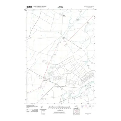 2010 Black River2010 Print · USGSJefferson County’s river valleys and historic crossroads are captured here just before the turn of the decade. Genealogists and local historians can trace family sites at Hoover Cemetery, the grounds of the Leray Mansion, or the early settlement at Dutch Settlement.
 - 2010 Map of Copenhagen, 2010 Print
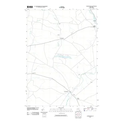 2010 Copenhagen2010 Print · USGSSettlements along the Black River valley and Deer River come into sharp focus in this early twenty-first century survey. Researchers can locate family burial plots at Hillside Cemetery and Plank Cemetery, or trace the rural landscapes of Champion Huddle and Copenhagen.
 - 2010 Map of Rutland Center, 2010 Print
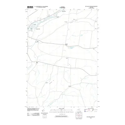 2010 Rutland Center2010 Print · USGSJefferson County during the early twenty-first century reveals a landscape of enduring rural hamlets and upland cemeteries. Genealogists and historians can trace lineage and settlement patterns through landmarks like Calvary Cemetery, Burrs Mills, and Harpers Ferry.
 - 2010 Map of Deferiet, 2010 Print
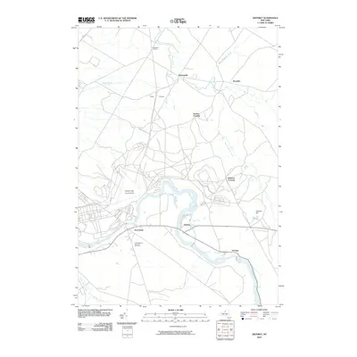 2010 Deferiet2010 Print · USGSThe riverfront communities of Jefferson County are captured here in the early twenty-first century as they interface with military infrastructure. Genealogists and historians can locate F W Woolworth Memorial Cemetery or trace roads through Sterlingville and Doolins Crossing.
 - 2013 Map of Rutland Center, 2013 Print
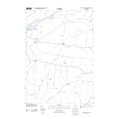 2013 Rutland Center2013 Print · USGSJefferson County’s rural uplands and the southern banks of the Black River are captured here during the early twenty-first century. Genealogists and local historians can locate several family cemeteries, such as Rutland Hollow Cem, and historic hamlets like Burrs Mills and Tylersville.
 - 2013 Map of Copenhagen, 2013 Print
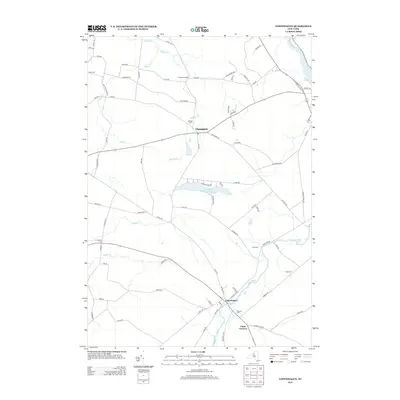 2013 Copenhagen2013 Print · USGSJefferson County rural life and river geography are documented here in the early twenty-first century. Genealogists and local researchers can trace family landmarks and burial sites like Hillside Cem, Plank Cem, and the village of Copenhagen.
 - 2013 Map of Deferiet, 2013 Print
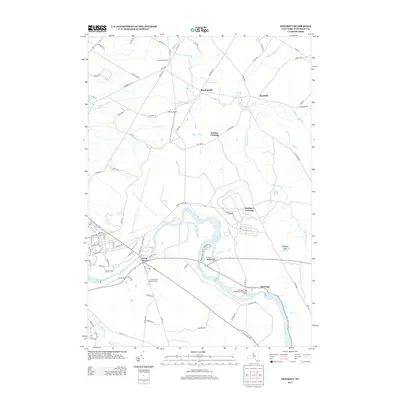 2013 Deferiet2013 Print · USGSThe Black River corridor in Jefferson County was a hive of riverside activity in the early twenty-first century. Genealogists and local historians can trace the foundations of Deferiet, the F W Woolworth Memorial Cem, and crossroads like Sterlingville.
 - 2013 Map of Black River, 2013 Print
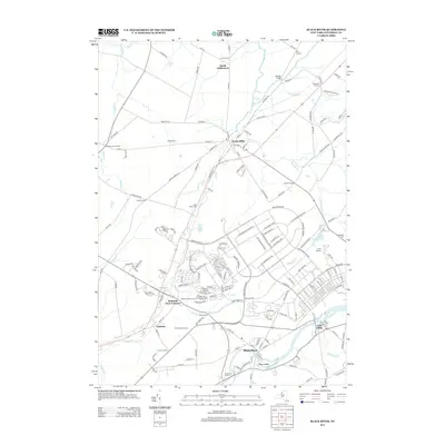 2013 Black River2013 Print · USGSJefferson County's agrarian and riverfront character is captured here in the early twenty-first century. Researchers can trace the heritage of local estates and hamlets through landmarks like Leray Mansion, Dutch Settlement, and Felts Mills.
 - 2016 Map of Rutland Center, 2016 Print
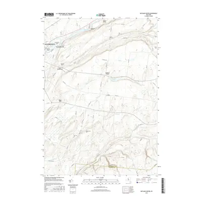 2016 Rutland Center2016 Print · USGSJefferson County’s rural uplands and the Black River valley are captured here in the mid-2010s. Genealogists can trace family footprints through numerous small burial sites like Calvary Cem, Rutland Hollow Cem, and the quiet crossroads of Rutland Center.
 - 2016 Map of Copenhagen, 2016 Print
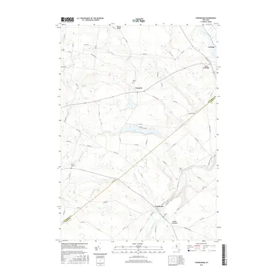 2016 Copenhagen2016 Print · USGSThe Black River valley and Tug Hill foothills meet in this 2016 survey of the Jefferson and Lewis County border. Genealogists and researchers can trace local family landmarks from Copenhagen to Carthage, including Hillside Cem, Kings Falls, and Pleasant Lake.
 - 2016 Map of Deferiet, 2016 Print
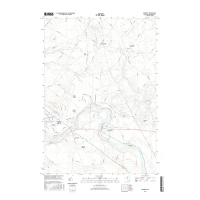 2016 Deferiet2016 Print · USGSJefferson County in the mid-2010s reveals a unique landscape where military readiness and riverside village life exist side-by-side. You can trace the perimeter of Fort Drum, locate the Wheeler-Sack Army Airfield, and find local landmarks like the F W Woolworth Memorial Cem.
 - 2016 Map of Black River, 2016 Print
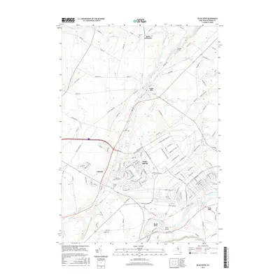 2016 Black River2016 Print · USGSJefferson County in the mid-2010s shows the modern footprint of Fort Drum alongside established villages near the Black River. Researchers can locate several family burial grounds, including Hoover Cem and Sheepfold Cem, and trace the routes connecting Evans Mills to Calcium.
 - 2019 Map of Deferiet, 2019 Print
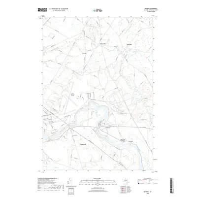 2019 Deferiet2019 Print · USGSJefferson County’s riverfront settlements and military history are preserved here during the late 2010s. Researchers can trace the boundaries of Fort Drum as it surrounds legacy sites like Sterlingville or locate family roots near Sunnyside Cem and Great Bend.
 - 2019 Map of Black River, 2019 Print
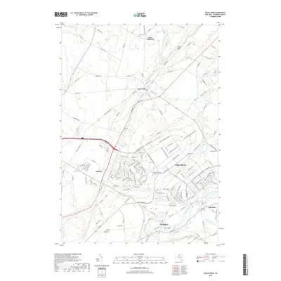 2019 Black River2019 Print · USGSJefferson County’s military and rural history intersect here during the late twenty-tens, where modern army infrastructure meets long-standing frontier settlements. Genealogists can locate Saint Marys Cemetery and the Dutch Settlement or trace the Black River from Felts Mills to Poors Island.
 - 2019 Map of Rutland Center, 2019 Print
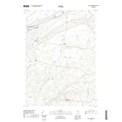 2019 Rutland Center2019 Print · USGSJefferson County's rural landscape is captured here in the late twenty-teens, showing the transition from the city of WATERTOWN to the hills of Rutland Center. Genealogists can trace family names at Maple Hill Cem and Underwood Cem, or locate the historic site of Burrs Mills.
 - 2019 Map of Copenhagen, 2019 Print
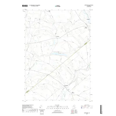 2019 Copenhagen2019 Print · USGSThe border of Jefferson and Lewis Counties comes into focus in this contemporary study of the upland plateaus and river valleys. Researchers can trace the heritage of rural hamlets like Champion and Clark Corners or locate family plots at Plank Cem and Bent Cem.
End of results
Showing maps 1-16 of 16
Top cities near Rutland
- Le Ray historical maps
- Watertown historical maps
- Watertown historical maps
- Brownville historical maps
- Wilna historical maps
- Adams historical maps
See more
Top neighborhoods of Rutland
Frequently asked questions
- What are the different types of historical maps available for Rutland?
- What is the oldest map of Rutland?
- Where can I purchase historical maps of Rutland for my home or office?
- Where can I download high-res historical maps of Rutland?
- Are there historical topographic maps available for Rutland?
- Is there historical aerial imagery available for Rutland?
- Where are historical maps of Rutland sourced from?