2000s (21st Century) Maps of Harrisburg, New York
Explore 15 historic maps of Harrisburg from the 2000s (21st Century). These maps offer a rare glimpse into what life looked like during the 2000s — showing old roads, neighborhoods, homes, and landmarks that have changed or disappeared over time.
Whether you're researching your family's past, planning a metal detecting trip, or studying how Harrisburg's landscape evolved across the 2000s, these high-resolution maps are a powerful tool for exploring the history of this region.
- Focus on a specific era: All maps on this page are from the 2000s, giving you a focused view of this time period.
- See what’s changed: Compare century-old streets, trails, and buildings to today's modern landscape using overlays and satellite layers.
- Research with precision: Use these maps for genealogy, historical research, land use analysis, or educational projects.
- View, download, or print: Maps are fully viewable online in high resolution, and can be downloaded or printed for your own records.
Start exploring Harrisburg's history through authentic maps from the 2000s. This is your window into the past.
Harrisburg, NY maps
(15)- 2010 Map of West Lowville, 2010 Print
 2010 West Lowville2010 Print · USGSCovers Harrisburg, including Lowville, Lowville, and other nearby areas
 - 2010 Map of Copenhagen, 2010 Print
 2010 Copenhagen2010 Print · USGSCovers Harrisburg, including Wilna, Champion, and other nearby areas
 - 2010 Map of New Boston, 2010 Print
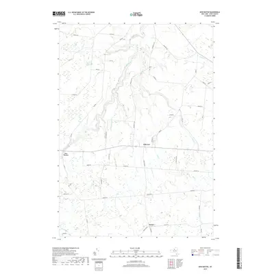
 2010 New Boston2010 Print · USGSCovers Harrisburg, including Denmark, Martinsburg, and other nearby areas
 - 2013 Map of West Lowville, 2013 Print
 2013 West Lowville2013 Print · USGSCovers Harrisburg, including Lowville, Lowville, and other nearby areas
 - 2013 Map of Copenhagen, 2013 Print
 2013 Copenhagen2013 Print · USGSCovers Harrisburg, including Wilna, Champion, and other nearby areas
 - 2013 Map of New Boston, 2013 Print
 2013 New Boston2013 Print · USGSCovers Harrisburg, including Denmark, Martinsburg, and other nearby areas
 - 2016 Map of Copenhagen, 2016 Print
 2016 Copenhagen2016 Print · USGSCovers Harrisburg, including Wilna, Champion, and other nearby areas
 - 2016 Map of New Boston, 2016 Print
 2016 New Boston2016 Print · USGSCovers Harrisburg, including Denmark, Martinsburg, and other nearby areas
 - 2016 Map of West Lowville, 2016 Print
 2016 West Lowville2016 Print · USGSCovers Harrisburg, including Lowville, Lowville, and other nearby areas
 - 2019 Map of New Boston, 2019 Print
 2019 New Boston2019 Print · USGSCovers Harrisburg, including Denmark, Martinsburg, and other nearby areas
 - 2019 Map of West Lowville, 2019 Print
 2019 West Lowville2019 Print · USGSCovers Harrisburg, including Lowville, Lowville, and other nearby areas
 - 2019 Map of Copenhagen, 2019 Print
 2019 Copenhagen2019 Print · USGSCovers Harrisburg, including Wilna, Champion, and other nearby areas
 - 2023 Map of West Lowville, 2023 Print
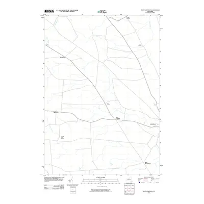
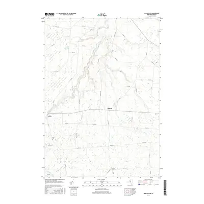
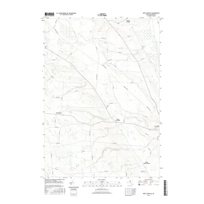
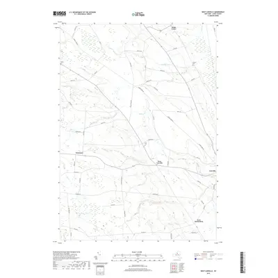
 2023 West Lowville2023 Print · USGSThe Lewis County uplands near West Lowville are shown here as they appeared in the early 2020s, reflecting a landscape of high-elevation farming and isolated hamlets. Genealogists can find landmarks like West Lowville Rural Cem and the crossroads at Briggs Corner.
 - 2023 Map of New Boston, 2023 Print
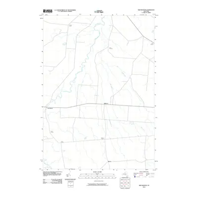
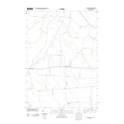
 2023 New Boston2023 Print · USGSThe Tug Hill region of Lewis County shows its modern rural character in this survey of the high plateau. Genealogists and historians can locate family landmarks such as Battle Cem and the small hamlets of New Boston, Bellwood, and Rector.
 - 2023 Map of Copenhagen, 2023 Print
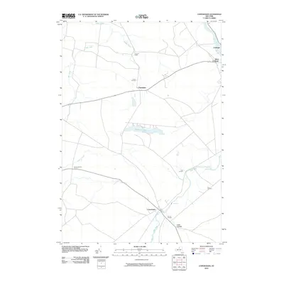
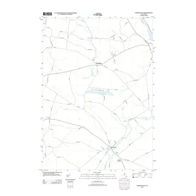
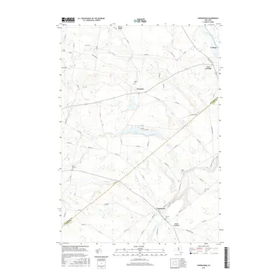
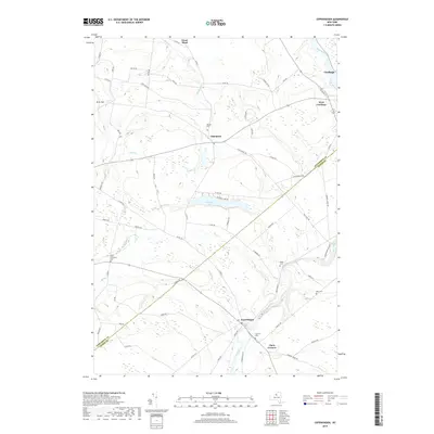
 2023 Copenhagen2023 Print · USGSCopenhagen and the surrounding townships in Lewis and Jefferson counties are documented here in the early twenty-first century. Researchers can trace ancestral locations through numerous burial sites like Fairview Cem and Plank Cem or locate family homesteads near High Falls and Pleasant Lake.
End of results
Showing maps 1-15 of 15
Top cities near Harrisburg
- Le Ray historical maps
- Watertown historical maps
- Watertown historical maps
- Wilna historical maps
- Lowville historical maps
- Champion historical maps
See more
Top neighborhoods of Harrisburg
Frequently asked questions
- What are the different types of historical maps available for Harrisburg?
- What is the oldest map of Harrisburg?
- Where can I purchase historical maps of Harrisburg for my home or office?
- Where can I download high-res historical maps of Harrisburg?
- Are there historical topographic maps available for Harrisburg?
- Is there historical aerial imagery available for Harrisburg?
- Where are historical maps of Harrisburg sourced from?