Old Maps of Wetmore, Martinsburg for Genealogy
Trace your family roots with 14 historic maps of Wetmore. These high-res maps reveal old neighborhoods, homesites, landmarks, and streets — helping you uncover where your ancestors lived and how the area evolved over time.
- Explore historic neighborhoods: Identify where your relatives may have lived in the 1800s or 1900s.
- Compare maps over time: Trace the changes in streets, buildings, and landmarks for multi-generational research.
- Perfect for genealogy & ancestry research: Used by family historians and researchers to map out lineage and migration.
These maps are an incredible resource for exploring your personal connection to Wetmore's past.
Wetmore, Martinsburg maps
(14)- 1906 Map of Highmarket
 1906 Highmarket1906 Print · USGSLewis County at the turn of the century shows a landscape of timber hamlets and early logging railroads deep in the Tug Hill region. Genealogists and researchers can trace the old paths of the Glenfield and Western RR or locate the sites of Michigan Mills and Highmarket.6 unique versions available
 - 1943 Map of Page, 1960 Print
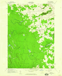 1943 Page1960 Print · USGSLewis County during the early 1940s shows a landscape of district schools and upland farms near the Tug Hill plateau. Genealogists can locate small settlements like Wetmore and Page or trace the steep terrain around Whetstone Gulf State Park.2 unique versions available
 - 1944 Map of Page
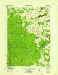 1944 Page1944 Print · USGSLewis County uplands in the mid-1940s show a landscape of small agricultural hamlets and numbered schoolhouses. Genealogists can trace family footprints around McGraw Corners, Maple Ridge Church, and School No 17.
 - 1950 Map of Utica, 1951 Print
 1950 Utica1951 Print · USGSCentral New York in the post-war era showcases the industrial Mohawk Valley and the pristine Adirondack interior. Researchers can trace transportation networks like the New York Central Railroad and find early Cold War sites such as Griffiss Air Force Base.
 - 1957 Map of Utica
 1957 Utica1957 Print · USGSCentral New York and the Adirondack foothills are captured here in the mid-fifties, showing a landscape defined by the Mohawk River corridor and the growing highway system. Genealogists and researchers can trace the rail lines of the New York Central and locate communities from Lowville to Gloversville.
 - 1962 Map of Utica
 1962 Utica1962 Print · USGSCentral New York and the Adirondack wilderness are captured here during the mid-century era of highway and industrial expansion. Genealogists and historians can trace the development of the New York State Thruway and local rail lines connecting Utica, Rome, and Gloversville.3 unique versions available
 - 1964 Map of Utica
 1964 Utica1964 Print · USGSCentral New York and the high wilderness of the Adirondacks are captured here during the post-war era of infrastructure expansion. Researchers can trace the development of the New York State Thruway alongside historic corridors like the Oneida Lake (Barge Canal Route) and the N. Y. Central railroad.
 - 1967 Map of Utica
 1967 Utica1967 Print · USGSCentral New York's industrial Mohawk Valley meets the Adirondack wilderness in the 1960s, showing the region's transition from manufacturing hubs to state-managed parklands. Trace historic settlements and sites like Griffiss Air Force Base, Colgate University, and the Lyons Falls Paper Mill.
 - 1985 Map of Watertown, 1986 Print
 1985 Watertown1986 Print · USGSThe Black River Valley and the western Adirondacks are captured here in the mid-1980s, from the urban streets of Watertown to the remote Stillwater Reservoir. Researchers can trace the Conrail lines through Carthage or locate family landmarks in Lowville, Boonville, and Old Forge.2 unique versions available
 - 2010 Map of Page, 2010 Print
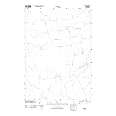 2010 Page2010 Print · USGSLewis County uplands in the early twenty-first century are defined by their remote hamlets and complex creek systems. Researchers can trace local genealogy and land use through named crossroads like McGraw Corners and Graves Corners or explore the headwaters of North Branch Fish Creek.
 - 2013 Map of Page, 2013 Print
 2013 Page2013 Print · USGSThe Tug Hill region of Lewis County is revealed in this early twenty-first-century survey, detailing the rural crossroads and watershed patterns of the area. Genealogists and local historians can trace the roads connecting Wetmore, Page, and Graves Corners while navigating the various branches of Roaring Brook.
 - 2016 Map of Page, 2016 Print
 2016 Page2016 Print · USGSThe Tug Hill Plateau in the mid-2010s reveals a landscape of high-elevation wetlands and managed forest lands. Researchers can trace the rural road network between Wetmore and Page while locating remote water bodies like Haber Pond and Alexander Pond.
 - 2019 Map of Page, 2019 Print
 2019 Page2019 Print · USGSThe Tug Hill Plateau highlands are captured here in the late 2010s, showing a remote landscape of headwaters and timber trails. Researchers can trace the small settlements of Wetmore and Page along with water features like Alexander Pond and the East Branch Fish Creek.
 - 2023 Map of Page, 2023 Print
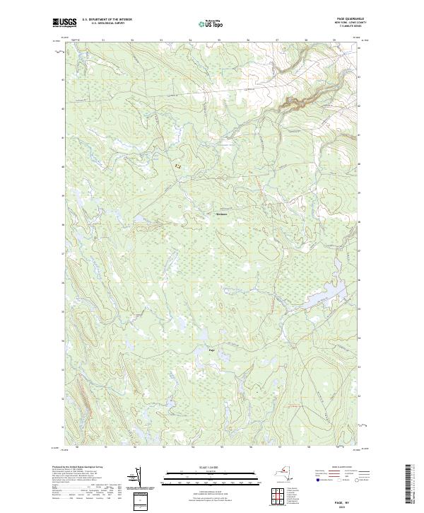 2023 Page2023 Print · USGSLewis County’s high forest plateaus are mapped here in the early twenty-first century. Researchers can trace land use patterns along the DEC Truck Trl or locate old community sites like Page and Wetmore near the headwaters of Whetstone Creek.
End of results
Showing maps 1-14 of 14
Top cities near Wetmore
- Lowville historical maps
- Champion historical maps
- Boonville historical maps
- Lowville historical maps
- Croghan historical maps
- Rutland historical maps
See more
Frequently asked questions
- What are the different types of historical maps available for Wetmore?
- What is the oldest map of Wetmore?
- Where can I purchase historical maps of Wetmore for my home or office?
- Where can I download high-res historical maps of Wetmore?
- Are there historical topographic maps available for Wetmore?
- Is there historical aerial imagery available for Wetmore?
- Where are historical maps of Wetmore sourced from?