Old Maps of Watson, New York for Hiking & Exploration
Hike through history with 56 historic maps of Watson. Explore old trails, ghost towns, and forgotten backroads — perfect for outdoor adventurers and local explorers.
- Rediscover forgotten places: Map out old mining camps, roads, and footpaths that no longer exist on modern maps.
- Layer with modern tools: Combine with LiDAR or satellite views to plan hikes through historical terrain.
- Made for exploration: Popular among hikers, overlanders, and local history lovers.
Use these maps to find adventure and explore the hidden past of Watson.
Watson, NY maps
(56)- 1905 Map of Port Leyden
 1905 Port Leyden1905 Print · USGSLewis County at the start of the twentieth century shows a landscape shaped by the Black River Canal and burgeoning timber railroads. Genealogists and historians can trace riverside industry at Goulds Mill, the remote settlement of Partridgeville, and the transit hub at Leyden Station PO.2 unique versions available
 - 1907 Map of Port Leyden
 1907 Port Leyden1907 Print · USGSPort Leyden and the Black River valley are shown here just after the turn of the century as industrial hubs and transit corridors. Researchers can trace the path of the Black River Canal and find long-standing hamlets like Constableville and Goulds Mill.6 unique versions available
 - 1911 Map of Lowville, 1959 Print
 1911 Lowville1959 Print · USGSLewis County at the start of the 1910s reveals a thriving network of river-powered hamlets and rural school districts. Genealogists can locate family landmarks like Bushes Landing, Kirchnerville, and the Wisner School along the Black River valley.2 unique versions available
 - 1912 Map of Number Four
 1912 Number Four1912 Print · USGSThe Adirondack wilderness of Herkimer and Lewis counties is captured here in the early twentieth century before modern development. Trace the remote waterways from the Oswegatchie River down to Soft Maple Dam or locate family landmarks near Balsam Flats and Stillwater Mtn.
 - 1913 Map of Lowville
 1913 Lowville1913 Print · USGSLewis County in the early twentieth century is captured here as a landscape of river-powered industry and dispersed rural settlements. Genealogists can locate family-named landmarks like Petries Corners, trace the Lowville and Utica Line, and find dozens of local schools including Henry School and Osson School.5 unique versions available
 - 1915 Map of Number Four
 1915 Number Four1915 Print · USGSThe wilderness of the North Country comes into focus in this pre-war survey of the Lewis and Herkimer county line. Researchers can trace the remote settlement of Number Four and locate early landmarks like Silver Mine Dam and Stillwater Mtn.5 unique versions available
 - 1940 Map of Port Leyden
 1940 Port Leyden1940 Print · USGSUpper Lewis County at the start of the 1940s reveals a landscape shaped by the BLACK RIVER and the rail industry. Researchers can trace historic homesteads near Constableville, industrial sites at Goulds Mill, and the riverside Leyden Station PO.
 - 1950 Map of Utica, 1951 Print
 1950 Utica1951 Print · USGSCentral New York in the post-war era showcases the industrial Mohawk Valley and the pristine Adirondack interior. Researchers can trace transportation networks like the New York Central Railroad and find early Cold War sites such as Griffiss Air Force Base.
 - 1957 Map of Utica
 1957 Utica1957 Print · USGSCentral New York and the Adirondack foothills are captured here in the mid-fifties, showing a landscape defined by the Mohawk River corridor and the growing highway system. Genealogists and researchers can trace the rail lines of the New York Central and locate communities from Lowville to Gloversville.
 - 1957 Map of Number Four, 1964 Print
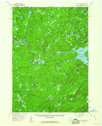 1957 Number Four1964 Print · USGSThe western Adirondacks during the mid-1950s reveal a landscape of managed wilderness and remote settlements. Researchers can trace historic access routes like Prentice Road or locate the Lookout Tower near Number Four and Stillwater.4 unique versions available
 - 1962 Map of Utica
 1962 Utica1962 Print · USGSCentral New York and the Adirondack wilderness are captured here during the mid-century era of highway and industrial expansion. Genealogists and historians can trace the development of the New York State Thruway and local rail lines connecting Utica, Rome, and Gloversville.3 unique versions available
 - 1964 Map of Utica
 1964 Utica1964 Print · USGSCentral New York and the high wilderness of the Adirondacks are captured here during the post-war era of infrastructure expansion. Researchers can trace the development of the New York State Thruway alongside historic corridors like the Oneida Lake (Barge Canal Route) and the N. Y. Central railroad.
 - 1966 Map of Lowville, 1970 Print
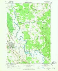 1966 Lowville1970 Print · USGSThe Black River Valley in the mid-1960s shows a landscape defined by the winding BLACK RIVER and the bustling village of Lowville. Genealogists and local historians can trace family roots through sites like Beaches Bridge Cem, St Peters Ch, and the old PENN CENTRAL rail corridor.2 unique versions available
 - 1966 Map of Crystal Dale, 1970 Print
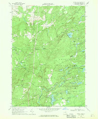 1966 Crystal Dale1970 Print · USGSThe Western Adirondack foothills come into focus in the mid-sixties, showing the transition from upland farms to protected forest. Researchers can locate family homesteads near Petries Corners, trace the Erie Canal influence, or find the Wetmore Cem.3 unique versions available
 - 1966 Map of Belfort, 1970 Print
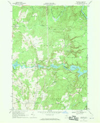 1966 Belfort1970 Print · USGSThe Lewis County timberlands and river valleys are captured here in the mid-sixties during a period of active hydroelectric production. Genealogists and local historians can locate early settlements like Kirchnerville and Bushs Corners, or trace the path of the Indian Aqueduct.2 unique versions available
 - 1966 Map of Brantingham, 1970 Print
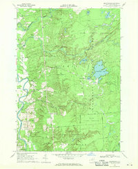 1966 Brantingham1970 Print · USGSThe Adirondack foothills in the mid-1960s reveal a landscape of seasonal lake retreats and quiet river valley settlements. You can trace family history at St Thomas Ch or explore the recreational history of Singing Waters Park and Brantingham Lake.3 unique versions available
 - 1966 Map of Glenfield, 1970 Print
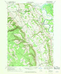 1966 Glenfield1970 Print · USGSThe rural uplands of Lewis County are seen here in the mid-sixties as the plateau gives way to the Black River valley. Researchers can trace family history at Old Martinsburg Cem, find old schools like Gen Martin High Sch, or locate the Drive-in Theater and local Ski Lift.3 unique versions available
 - 1967 Map of Utica
 1967 Utica1967 Print · USGSCentral New York's industrial Mohawk Valley meets the Adirondack wilderness in the 1960s, showing the region's transition from manufacturing hubs to state-managed parklands. Trace historic settlements and sites like Griffiss Air Force Base, Colgate University, and the Lyons Falls Paper Mill.
 - 1985 Map of Watertown, 1986 Print
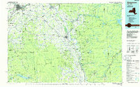 1985 Watertown1986 Print · USGSThe Black River Valley and the western Adirondacks are captured here in the mid-1980s, from the urban streets of Watertown to the remote Stillwater Reservoir. Researchers can trace the Conrail lines through Carthage or locate family landmarks in Lowville, Boonville, and Old Forge.2 unique versions available
 - 1989 Map of Stillwater
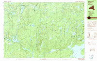 1989 Stillwater1989 Print · USGSThe Adirondack wilderness in the late 1980s reveals a landscape defined by seasonal camps and isolated waterways. Researchers can trace the remote network of trails and ponds surrounding Stillwater, Oswegatchie Camp, and the winding West Branch Oswegatchie River.
 - 1989 Map of Number Four
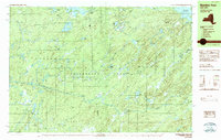 1989 Number Four1989 Print · USGSThe western Adirondacks in the late eighties are defined by the winding Independence River and the isolated settlement of Number Four. Trace the rugged backcountry from Stillwater Mountain to the shores of Stillwater Reservoir and Francis Lake.2 unique versions available
 - 2010 Map of Glenfield, 2010 Print
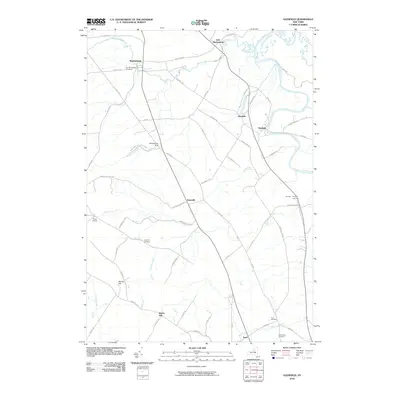 2010 Glenfield2010 Print · USGSThe Lewis County countryside unfolds during the early 2000s, from the steep ravines of the Tug Hill plateau to the Black River valley. Researchers can trace ancestral roots at Old Martinsburg Cemetery and explore the gorge at Whetstone Gulf State Park.
 - 2010 Map of Brantingham, 2010 Print
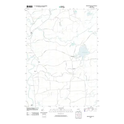 2010 Brantingham2010 Print · USGSThe western Adirondack foothills and the Black River valley are shown here in the years before the modern era. Researchers can locate family sites near Brantingham Cemetery, trace the course of the Independence River, or study the settlement at Greig.
 - 2010 Map of Soft Maple Reservoir, 2010 Print
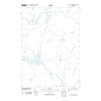 2010 Soft Maple Reservoir2010 Print · USGSThe northern Adirondack foothills are shown here in the early twenty-first century, centered on the Soft Maple Reservoir and the Beaver River. Researchers can trace old woods routes and family-named landmarks like Meister Pond, Snider Pond, and the Oswegatchie Camp.
 - 2010 Map of Number Four, 2010 Print
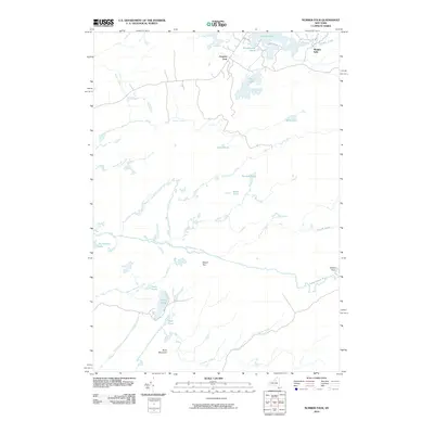 2010 Number Four2010 Print · USGSThe Lewis County backcountry comes into focus in this modern era survey of the Number Four settlement and its surrounding waterways. Genealogists and historians can trace the paths of the Independence River and find landmarks like Moshier Falls and Stony Lake.
Showing maps 1-25 of 56
Top cities near Watson
- Wilna historical maps
- Lowville historical maps
- Lowville historical maps
- Croghan historical maps
- New Bremen historical maps
- Denmark historical maps
See more
Top neighborhoods of Watson
- Pine Grove historical maps
- Bushes Landing historical maps
- Sperryville historical maps
- Petries Corners historical maps
- Number Four historical maps
Frequently asked questions
- What are the different types of historical maps available for Watson?
- What is the oldest map of Watson?
- Where can I purchase historical maps of Watson for my home or office?
- Where can I download high-res historical maps of Watson?
- Are there historical topographic maps available for Watson?
- Is there historical aerial imagery available for Watson?
- Where are historical maps of Watson sourced from?