2000s (21st Century) Maps of Ogden, New York
Explore 10 historic maps of Ogden from the 2000s (21st Century). These maps offer a rare glimpse into what life looked like during the 2000s — showing old roads, neighborhoods, homes, and landmarks that have changed or disappeared over time.
Whether you're researching your family's past, planning a metal detecting trip, or studying how Ogden's landscape evolved across the 2000s, these high-resolution maps are a powerful tool for exploring the history of this region.
- Focus on a specific era: All maps on this page are from the 2000s, giving you a focused view of this time period.
- See what’s changed: Compare century-old streets, trails, and buildings to today's modern landscape using overlays and satellite layers.
- Research with precision: Use these maps for genealogy, historical research, land use analysis, or educational projects.
- View, download, or print: Maps are fully viewable online in high resolution, and can be downloaded or printed for your own records.
Start exploring Ogden's history through authentic maps from the 2000s. This is your window into the past.
Ogden, NY maps
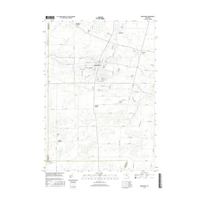
(10)- 2010 Map of Brockport, 2010 Print
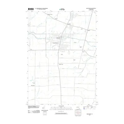 2010 Brockport2010 Print · USGSCovers Ogden, including Sweden, Brockport, and other nearby areas
 - 2010 Map of Spencerport, 2010 Print
 2010 Spencerport2010 Print · USGSCovers Ogden, including Greece, Gates, and other nearby areas
 - 2013 Map of Spencerport, 2013 Print
 2013 Spencerport2013 Print · USGSCovers Ogden, including Greece, Gates, and other nearby areas
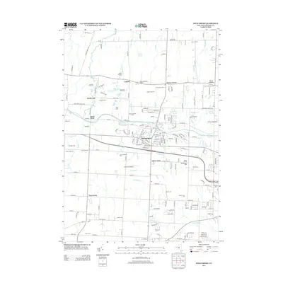
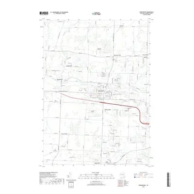
 - 2013 Map of Brockport, 2013 Print
 2013 Brockport2013 Print · USGSCovers Ogden, including Sweden, Brockport, and other nearby areas
 - 2016 Map of Brockport, 2016 Print
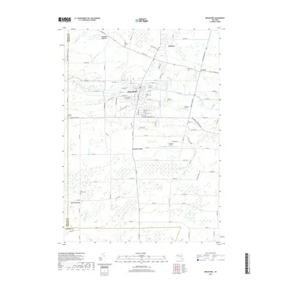
 2016 Brockport2016 Print · USGSCovers Ogden, including Sweden, Brockport, and other nearby areas
 - 2016 Map of Spencerport, 2016 Print
 2016 Spencerport2016 Print · USGSCovers Ogden, including Greece, Gates, and other nearby areas
 - 2019 Map of Spencerport, 2019 Print
 2019 Spencerport2019 Print · USGSCovers Ogden, including Greece, Gates, and other nearby areas
 - 2019 Map of Brockport, 2019 Print
 2019 Brockport2019 Print · USGSCovers Ogden, including Sweden, Brockport, and other nearby areas
 - 2023 Map of Brockport, 2023 Print
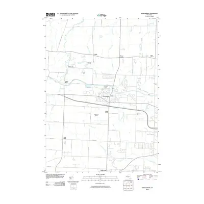
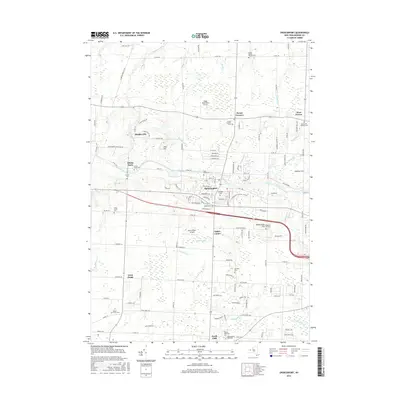
 2023 Brockport2023 Print · USGSBrockport and the surrounding Monroe County countryside are captured here in the early twenty-first century. Genealogists and local historians can trace the grounds of The College at Brockport, the path of the Erie Canal, and rural sites like West Sweden Cem.
 - 2023 Map of Spencerport, 2023 Print
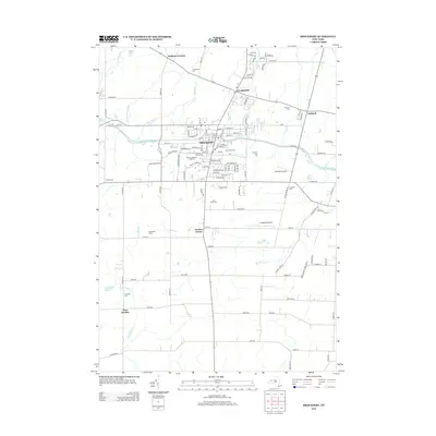
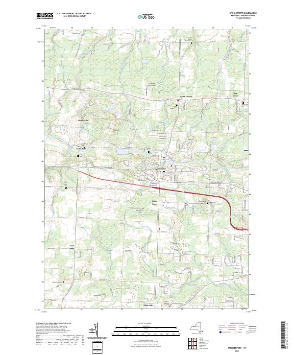 2023 Spencerport2023 Print · USGSThe Erie Canal corridor and surrounding agricultural lands of Monroe County are shown in this modern survey. Researchers can trace historic family burial sites like Castle Family Pioneer Cem and Shafer Cem, or explore the grounds of Roberts Wesleyan College.
End of results
Showing maps 1-10 of 10
Top cities near Ogden
- Rochester historical maps
- Greece historical maps
- North Greece historical maps
- Irondequoit historical maps
- Henrietta historical maps
- Brighton historical maps
See more
Top neighborhoods of Ogden
- Adams Basin historical maps
- Ogden Center historical maps
- Town Pump historical maps
- Spencerport historical maps
Frequently asked questions
- What are the different types of historical maps available for Ogden?
- What is the oldest map of Ogden?
- Where can I purchase historical maps of Ogden for my home or office?
- Where can I download high-res historical maps of Ogden?
- Are there historical topographic maps available for Ogden?
- Is there historical aerial imagery available for Ogden?
- Where are historical maps of Ogden sourced from?