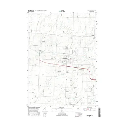
2016 Map of Spencerport
USGS Topo · Published 2016About this map
The Erie Canal cuts an enduring path through Monroe County, serving as the historical and geographic anchor for the village of Spencerport and nearby Adams Basin. This 2016 survey illustrates the modern layout of these canal towns, where residential growth intersects with deep-rooted local heritage. Genealogists will find a high concentration of burial grounds, including the Castle Family Pioneer Cem and Hoosic Hill Pioneer Cem, which speak to the area’s early pioneer settlement.
Find a feature on this map
122 named features on this map. Tap any name to fly to it.
Don’t see what you’re looking for? This feature index may not catch every label — zoom into the map to look around manually.
Map Details
Editions of this 2016 Spencerport Map
This is the sole edition of this map. No revisions or reprints were ever made.
Other maps of this area

1895 · Rochester
USGS Topo · 1:62,500

1895 · Ontario Beach
USGS Topo · 1:62,500

1898 · Rochester
USGS Topo · 1:62,500

1899 · Hamlin
USGS Topo · 1:62,500

1899 · Ontario Beach
USGS Topo · 1:62,500

1899 · Brockport
USGS Topo · 1:62,500

1912 · Rochester
USGS Topo · 1:62,500

1912 · Ontario Beach
USGS Topo · 1:62,500

1920 · Rochester
USGS Topo · 1:62,500

1931 · Rochester West
USGS Topo · 1:24,000