
1920 Map of Rochester
USGS Topo · Published 1920About this map
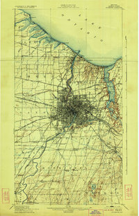
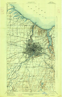
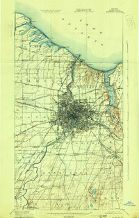
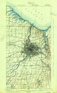
The Genesee River serves as the central artery for this industrial corridor as it flows north toward Lake Ontario, bisecting a landscape defined by an intricate network of rail and water transport. The map documents the city's expansion just after the completion of the modern Barge Canal, which arcs across the southern suburbs through Brighton and Gates. This period shows a transition from rural townships to suburban nodes, with numerous rail stations like South Greece Station and Genesee Junction anchoring smaller communities.
Find a feature on this map
97 named features on this map. Tap any name to fly to it.
Don’t see what you’re looking for? This feature index may not catch every label — zoom into the map to look around manually.
Map Details
Editions of this 1920 Rochester Map
5 editions found
Other maps of this area

1895 · Rochester
USGS Topo · 1:62,500

1895 · Ontario Beach
USGS Topo · 1:62,500

1898 · Rochester
USGS Topo · 1:62,500

1899 · Hamlin
USGS Topo · 1:62,500

1899 · Ontario Beach
USGS Topo · 1:62,500

1899 · Brockport
USGS Topo · 1:62,500

1900 · Macedon
USGS Topo · 1:62,500

1900 · Canandaigua
USGS Topo · 1:62,500

1901 · Honeoye
USGS Topo · 1:62,500

1903 · Canandaigua
USGS Topo · 1:62,500