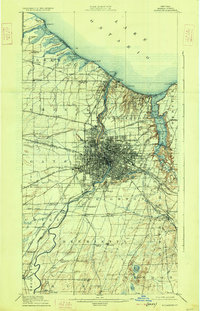
1920 Map of Rochester
USGS Topo · Published 1926About this map
Rochester serves as the industrial and transportation hub of this 1920s survey, defined by the heavy confluence of waterways and rail lines. The Genesee River cuts through the city center, while the Barge Canal and the older Erie Canal navigate the southern and western reaches. To the north, the Lake Ontario shoreline is a landscape of summer destinations and nautical landmarks, including Ontario Beach, Windsor Beach, and the Genesee L.H. lighthouse. The map reveals the intricate rail network of the era, featuring the New York Central and Hudson River RR and several electric lines like the Rochester and Sodus Bay Electric RR. Beyond the city grid, the surrounding townships of Greece and Irondequoit show a mix of early suburban growth and natural features like the expansive Irondequoit Bay.
Find a feature on this map
100 named features on this map. Tap any name to fly to it.
Don’t see what you’re looking for? This feature index may not catch every label — zoom into the map to look around manually.
Map Details
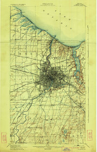
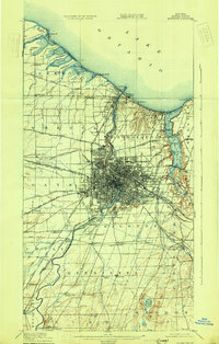
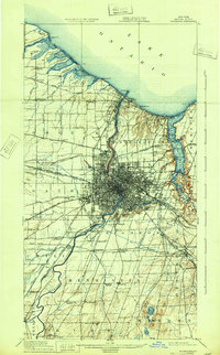
Editions of this 1920 Rochester Map
5 editions found

Other maps of this area

1895 · Rochester
USGS Topo · 1:62,500

1895 · Ontario Beach
USGS Topo · 1:62,500

1898 · Rochester
USGS Topo · 1:62,500

1899 · Hamlin
USGS Topo · 1:62,500

1899 · Ontario Beach
USGS Topo · 1:62,500

1899 · Brockport
USGS Topo · 1:62,500

1900 · Macedon
USGS Topo · 1:62,500

1900 · Canandaigua
USGS Topo · 1:62,500

1901 · Honeoye
USGS Topo · 1:62,500

1903 · Canandaigua
USGS Topo · 1:62,500