
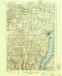
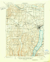
1903 Map of Canandaigua
USGS Topo · Published 1903About this map
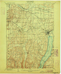
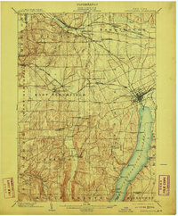
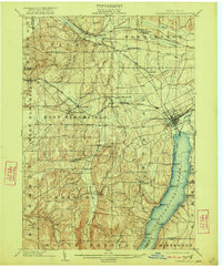
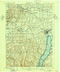
Canandaigua and its northern shoreline serve as the focal point for this turn-of-the-century landscape, where a defined Steamboat Route connects lakeside landings like Greens Landing and Gooding Landing. The region's early transportation network is clearly visible, featuring a dense web of rail lines including the Lehigh Valley and multiple branches of the N. Y. C. and H. R. R. R.. These tracks link established hubs such as Victor and East Bloomfield with smaller transit points like Wheeler Station.
Find a feature on this map
66 named features on this map. Tap any name to fly to it.
Don’t see what you’re looking for? This feature index may not catch every label — zoom into the map to look around manually.
Map Details
Editions of this 1903 Canandaigua Map
7 editions found
Other maps of this area

1895 · Rochester
USGS Topo · 1:62,500

1898 · Rochester
USGS Topo · 1:62,500

1899 · Palmyra
USGS Topo · 1:62,500

1900 · Macedon
USGS Topo · 1:62,500

1900 · Naples
USGS Topo · 1:62,500

1900 · Canandaigua
USGS Topo · 1:62,500

1901 · Honeoye
USGS Topo · 1:62,500

1902 · Phelps
USGS Topo · 1:62,500

1902 · Palmyra
USGS Topo · 1:62,500

1902 · Wayland
USGS Topo · 1:62,500