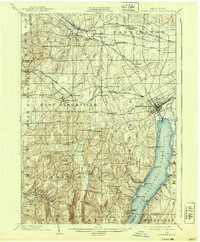
1903 Map of Canandaigua
USGS Topo · Published 1939About this map
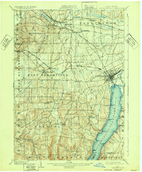
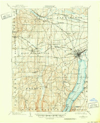
Canandaigua Lake dominates the southeastern portion of this map, its western shoreline punctuated by landings and points such as Tichenor Pt. and Grange Landing. The landscape shows a transition from the lower-lying northern townships of Victor and Farmington to the more dramatic terrain of Bristol and South Bristol to the south. This turn-of-the-century topography captures a highly developed rail corridor, with the Lehigh Valley and multiple branches of the New York Central and Hudson River R. R. connecting small agricultural and milling centers. Local life centers around dispersed hamlets and crossroads like Baptist Hill and Centerfield, while the early resort character of the lake is evident at Cottage City. The map preserves the specific locations of several rural stations, including Wheeler Station and Padelford, that once served the region's transport needs before the rise of modern highways.
Find a feature on this map
63 named features on this map. Tap any name to fly to it.
Don’t see what you’re looking for? This feature index may not catch every label — zoom into the map to look around manually.
Map Details
Editions of this 1903 Canandaigua Map
7 editions found

Other maps of this area

1895 · Rochester
USGS Topo · 1:62,500

1898 · Rochester
USGS Topo · 1:62,500

1899 · Palmyra
USGS Topo · 1:62,500

1900 · Macedon
USGS Topo · 1:62,500

1900 · Naples
USGS Topo · 1:62,500

1900 · Canandaigua
USGS Topo · 1:62,500

1901 · Honeoye
USGS Topo · 1:62,500

1902 · Phelps
USGS Topo · 1:62,500

1902 · Palmyra
USGS Topo · 1:62,500

1902 · Wayland
USGS Topo · 1:62,500