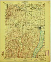
1903 Map of Canandaigua
USGS Topo · Published 1911About this map
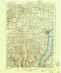
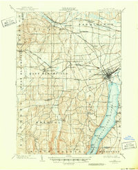
Canandaigua Lake dominates the eastern landscape, serving as a hub for local transportation at the turn of the century with its clearly marked Steamboat Route. The town of Canandaigua appears as a dense grid at the lake's northern tip, where the Northern Central R. R. and the Batavia and Canandaigua Branch of the New York Central meet a short Canal.
Find a feature on this map
61 named features on this map. Tap any name to fly to it.
Don’t see what you’re looking for? This feature index may not catch every label — zoom into the map to look around manually.
Map Details
Editions of this 1903 Canandaigua Map
7 editions found

Other maps of this area

1895 · Rochester
USGS Topo · 1:62,500

1898 · Rochester
USGS Topo · 1:62,500

1899 · Palmyra
USGS Topo · 1:62,500

1900 · Macedon
USGS Topo · 1:62,500

1900 · Naples
USGS Topo · 1:62,500

1900 · Canandaigua
USGS Topo · 1:62,500

1901 · Honeoye
USGS Topo · 1:62,500

1902 · Phelps
USGS Topo · 1:62,500

1902 · Palmyra
USGS Topo · 1:62,500

1902 · Wayland
USGS Topo · 1:62,500