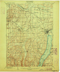
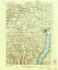
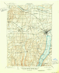
1903 Map of Canandaigua
USGS Topo · Published 1906About this map
Canandaigua Lake serves as the focal point of this regional study, showing the transition from the bustling hub of Canandaigua to the quiet landings and summer settlements along the shoreline. At the turn of the century, a dedicated Steamboat Route connected points like Greens Landing and Gooding Landing with the northern rail heads, emphasizing the lake’s role as both a commercial artery and an early recreational destination.
Find a feature on this map
61 named features on this map. Tap any name to fly to it.
Don’t see what you’re looking for? This feature index may not catch every label — zoom into the map to look around manually.
Map Details
Editions of this 1903 Canandaigua Map
7 editions found

Other maps of this area

1895 · Rochester
USGS Topo · 1:62,500

1898 · Rochester
USGS Topo · 1:62,500

1899 · Palmyra
USGS Topo · 1:62,500

1900 · Macedon
USGS Topo · 1:62,500

1900 · Naples
USGS Topo · 1:62,500

1900 · Canandaigua
USGS Topo · 1:62,500

1901 · Honeoye
USGS Topo · 1:62,500

1902 · Phelps
USGS Topo · 1:62,500

1902 · Palmyra
USGS Topo · 1:62,500

1902 · Wayland
USGS Topo · 1:62,500