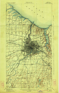
1920 Map of Rochester
USGS Topo · Published 1923About this map
The Genesee River serves as the central artery for this early 20th-century landscape, carving through Rochester toward its outlet at Lake Ontario. This 1920 edition reflects a city transitioning into its modern footprint, with dense urban development concentrated at the river's falls and spreading toward the suburbs of Greece and Irondequoit. The shoreline is characterized by a series of lagoons and points, including Braddock Bay and Irondequoit Bay, which supported seasonal retreats like Manitou Beach.
Find a feature on this map
98 named features on this map. Tap any name to fly to it.
Don’t see what you’re looking for? This feature index may not catch every label — zoom into the map to look around manually.
Map Details
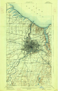
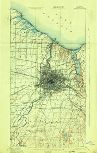
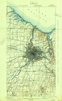
Editions of this 1920 Rochester Map
5 editions found

Other maps of this area

1895 · Rochester
USGS Topo · 1:62,500

1895 · Ontario Beach
USGS Topo · 1:62,500

1898 · Rochester
USGS Topo · 1:62,500

1899 · Hamlin
USGS Topo · 1:62,500

1899 · Ontario Beach
USGS Topo · 1:62,500

1899 · Brockport
USGS Topo · 1:62,500

1900 · Macedon
USGS Topo · 1:62,500

1900 · Canandaigua
USGS Topo · 1:62,500

1901 · Honeoye
USGS Topo · 1:62,500

1903 · Canandaigua
USGS Topo · 1:62,500